
Backpacking Unnecessary Mountain via the Howe Sound Crest Trail in British Columbia
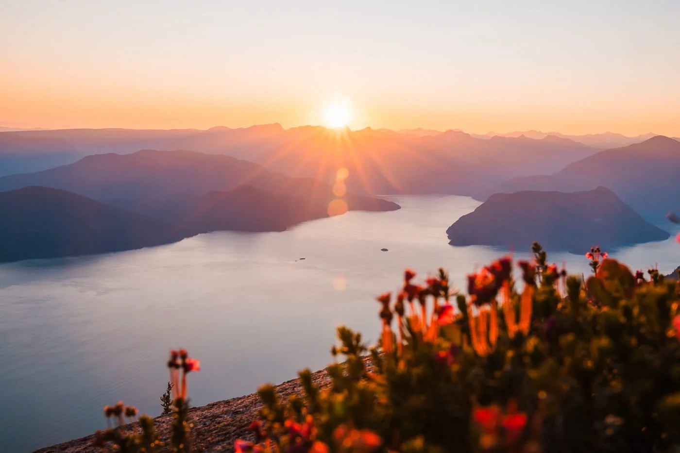
The Best Trail Views Near Vancouver, British Columbia
Backpacking to Unnecessary Mountain in Cypress Provincial Park is a short but seriously rewarding overnight trip, and it doubles as a great intro to one of the toughest backcountry trails near Vancouver, British Columbia, the Howe Sound Crest Trail. If you’ve hiked to St. Mark’s Summit, you know how beautiful this area is, but the views from the top of Unnecessary Mountain are even better.
We hiked a section of the Howe Sound Crest Trail (HSCT) in early July, starting at Cypress Mountain Resort with the goal of camping on top of Unnecessary Mountain and day hiking as far as we could along the HSCT. We wish we could have done the entire trail, but between time constraints and only having one vehicle for a car shuttle, we didn't have the time to complete the whole traverse, but camping on top of Unnecessary Mountain is worth a trip on its own.
This out-and-back route to Unnecessary Mountain is a fantastic standalone overnight trip, and also a great way to sample the Howe Sound Crest Trail if you're not ready to commit to the full point-to-point thru-hike. The trail up to the summit includes a lot of elevation changes, constantly going up and down, along with a few fixed lines on steep, scramble sections.
We’ve spent a lot of time hiking, backpacking, and climbing in Western BC, and this is definitely one of our favorite overnight trips in the area. You will love it!
Keep reading for everything you need to know, including what to expect on the trail, camping details, and how this trip connects to the larger Howe Sound Crest Trail.
→ Looking for more backpacking ideas in the Vancouver Area? Check out our Golden Ears backpacking guide.
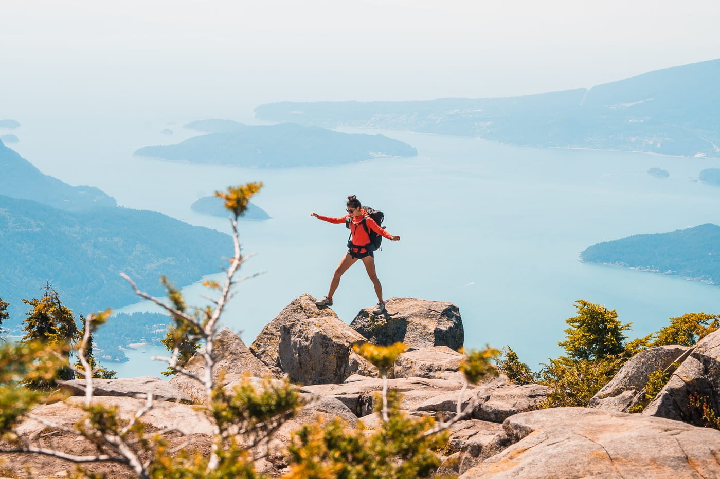
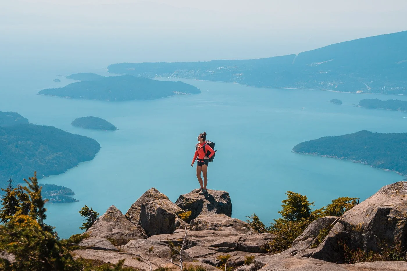
Views from Unnecessary Mountain South Summit
Quick Facts: Hiking Unnecessary Mountain
The route is about 15.5 km (9.6 miles) round trip with roughly 1,094 m (3,589 feet) of cumulative elevation gain. Despite the short one-way distance of 7.7 km (4.8 miles), this is a steep and demanding trail, and the payoff is a rugged, dispersed campsite right on the mountain with some of the best views along the entire Howe Sound Crest Trail corridor.
Distance
~ 15.5 km (9.6 mi) round trip
Elevation Gain
~1,094 m (3,589 ft)
Difficulty
Difficult
Recommended Duration
1-2 nights
Overnight Permit
None needed
Parking Pass
None but park outside the resort gate
Vehicle Access
All vehicles, paved road and parking lot
Dogs
Allowed but not recommended
Cell Service
Minimal to none
Popularity
Very popular to St. Mark's Summit, less crowded beyond
Affiliate Disclaimer: This blog post contains affiliate links, meaning we receive a small commission on every purchase made with our links at no additional cost to you. Sometimes there is even a discount code for our readers which we specify next to the links.
Table of Contents
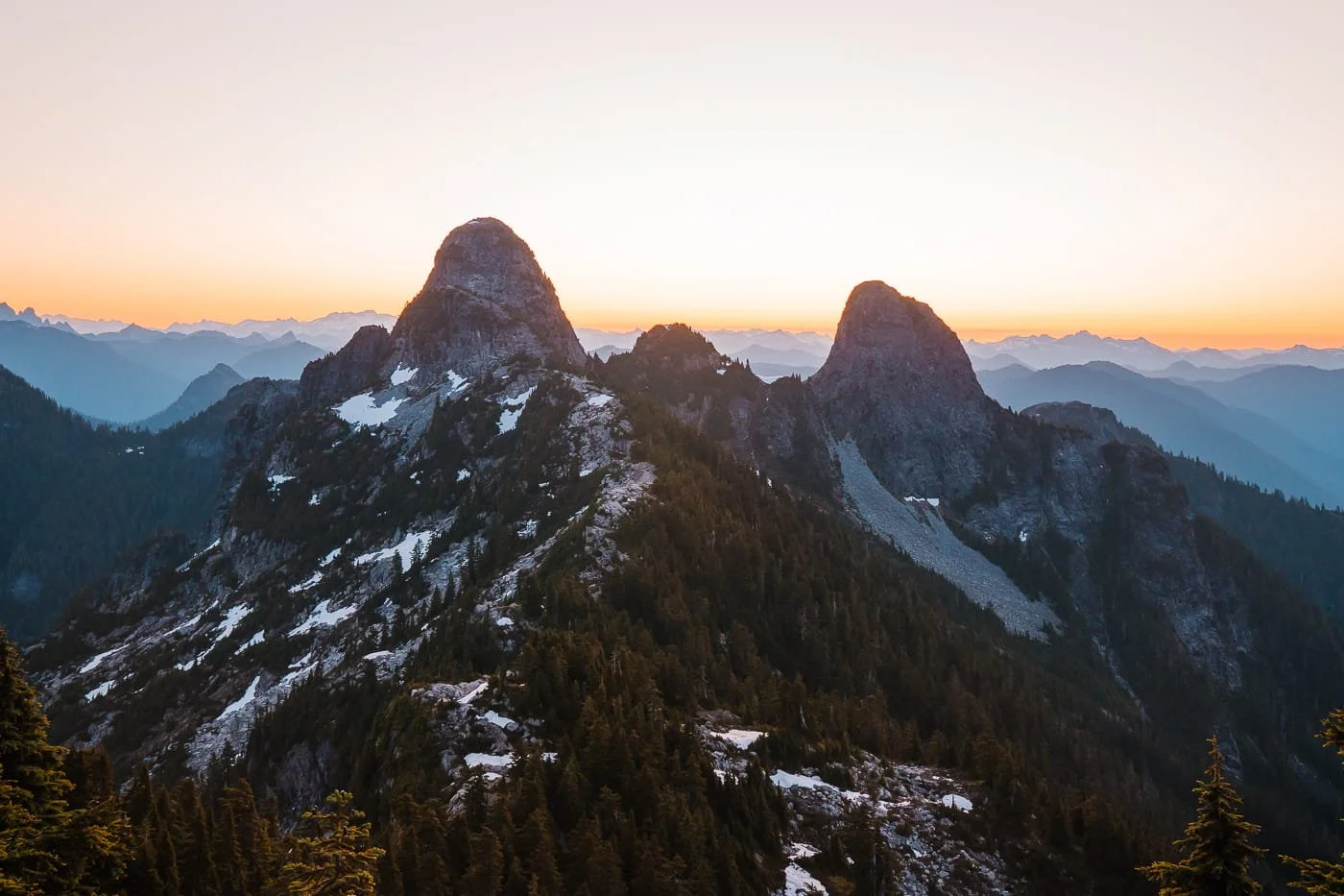
View of the Lions from the Howe Sound Crest Trail
What is the Howe Sound Crest Trail?
The Howe Sound Crest Trail is one of the most rugged backcountry routes near Vancouver, and Unnecessary Mountain marks the very start of it. This point-to-point wilderness route runs roughly 29 to 33 km (18–20 miles) one-way, stretching south to north from Cypress Mountain Resort all the way down to Porteau Cove along the Sea-to-Sky Highway.
It's known for its "rollercoaster" elevation profile, with around 2,000 m (6,500+ feet) of cumulative gain packed into a series of steep, sustained climbs and descents. Along the way, the trail crosses or passes St. Mark's Summit, Unnecessary Mountain, The Lions, James Peak, David Peak, and Mount Brunswick, with sweeping views of Howe Sound's saltwater fjord and alpine lakes like Deeks and Brunswick along the way.
It's a demanding trail by any measure, and definitely not one to underestimate. Parts of the route include fixed chains, ropes, and exposed drop-offs, and water is notoriously scarce in the southern half, meaning hikers often have to carry several liters from the trailhead. Most people tackle it as a 3- to 4-day backpacking trip, though a handful of trail runners and hikers push it in a single, brutal day.
How to Hike the Full Howe Sound Crest Trail Thru-Hike
If you're considering the full point-to-point traverse rather than just the out-and-back to Unnecessary Mountain, there's some real logistics to sort out first. Because this is a one-way route between two trailheads on opposite ends of Cypress Provincial Park, you'll need a car shuttle, a second vehicle, or a ride arranged at one end before you start.
July through October is the best window to attempt it. Snow, cornices, and unstable alpine weather can linger well into summer, so check current trail conditions before committing to a multi-day itinerary. Water scarcity is another major factor to plan around, especially in the southern half near Unnecessary Mountain, so map out your carrying capacity and any known sources before you go.
If you're planning the full traverse, sort out your shuttle logistics well before trip day, it's the single biggest hurdle on this route.
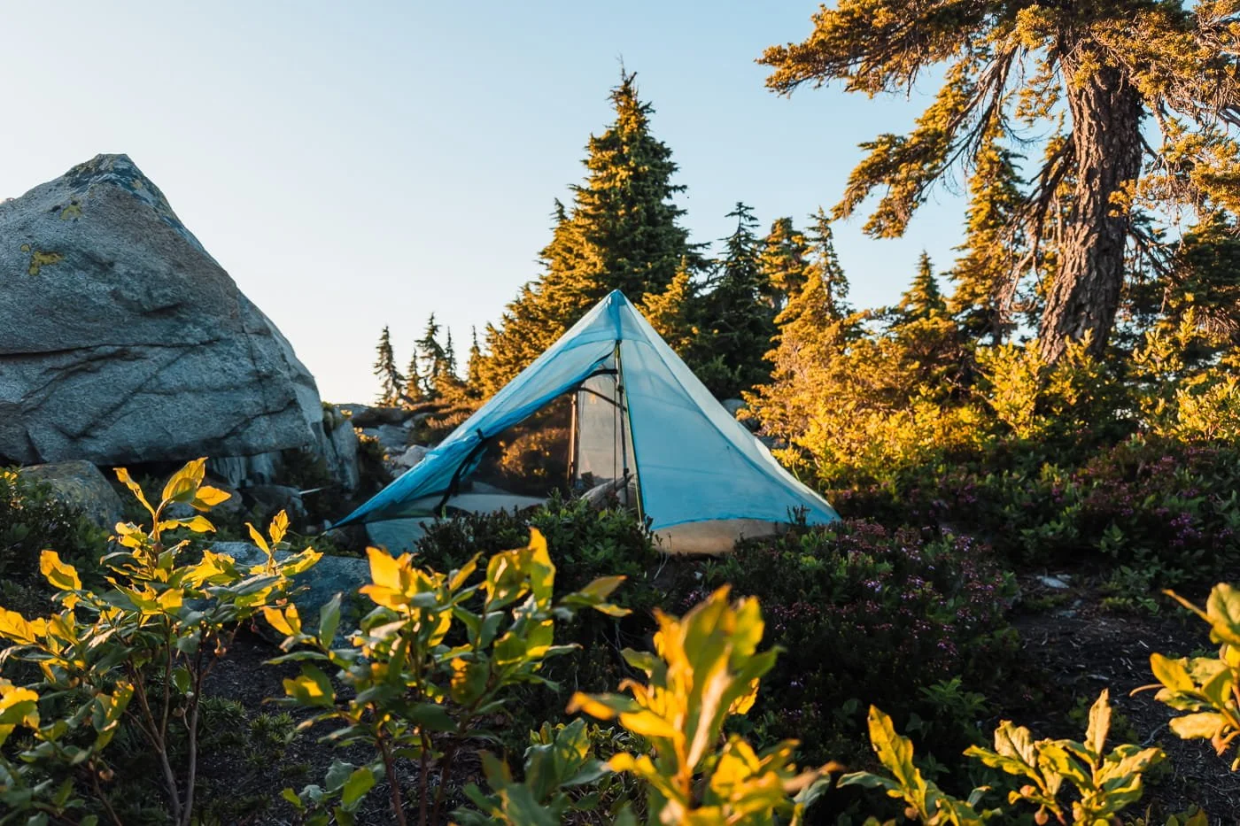
Campsite at Unnecessary Mountain
Permits and Camping Regulations in Cypress Provincial Park
No permit or reservation is required to backpack to Unnecessary Mountain. Backcountry camping along the Howe Sound Crest Trail is first-come, first-served, unlike many other popular BC Parks backcountry destinations that require an advance online reservation.
Here are Some Things to Know When Planning Your Trip:
Check current rules before you go. BC Parks policies and camping requirements can change from season to season, so confirm the latest camping and backcountry information at the official Cypress Provincial Park page before your trip.
There are no formally established or named campsites at Unnecessary Mountain. There are roughly three dirt, first-come, first-served tent spots near the summit. We marked the camp sites we found at the summit and nearby for you. There are no toilets, bear caches, or other facilities. Please always practice Leave No Trace.
Campfires are not allowed anywhere in Cypress Provincial Park. Bring a camp stove for cooking, no exceptions.
Day-use parking at Cypress Mountain Resort is free and doesn't require a permit, unlike some other backcountry trailheads in the region. Note that you should park outside the Cypress Mountain Resort Gate as it’s closed and locked each evening.
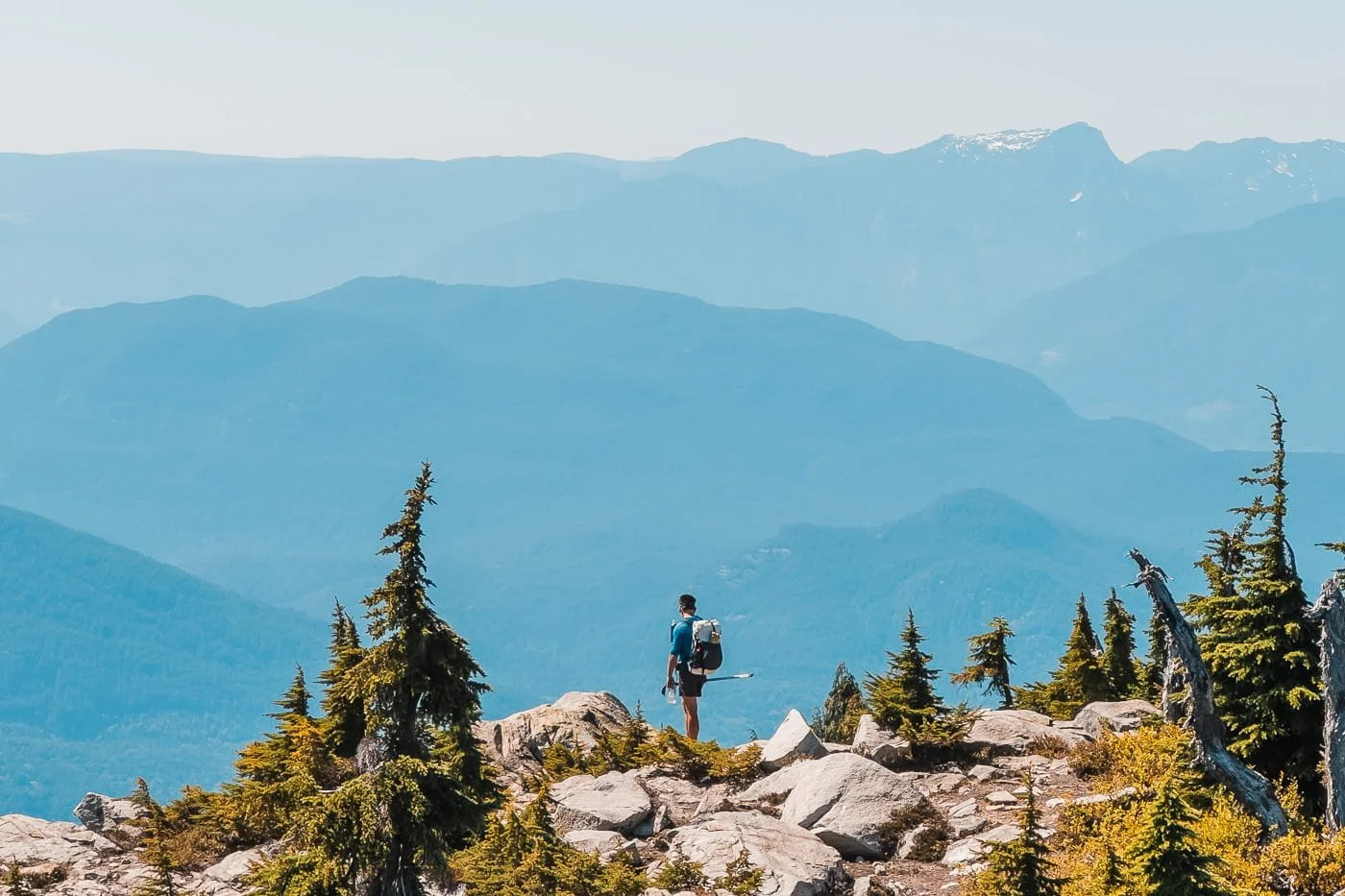
Views from a top a ridgeline near Unnecessary Mountain
What You Should Know Before Your Trip to Unnecessary Mountain on the Howe Sound Crest Trail
Water is unreliable and depends on lingering snowpack or seasonal tarns. There are no dependable water sources between Cypress Mountain Resort and Unnecessary Mountain once the snow melts out for the season. Snow on Unnecessary Mountain is often gone by late July or early August, so plan on carrying most or all of the water you'll need if you're hiking later in the season.
Early July is the best time to go. Snowmelt typically still provides a water source into July, and the trail is generally clear enough to travel safely by then.
Bugs can be bad. We dealt with a lot of mosquitoes and flies on this trip, especially in the forested and meadow sections. Bring bug spray and consider a head net if you're sensitive to it.
The trail is steep and sustained almost the entire way. There isn't much of a gradual warm-up section. If you’re not going up, you’re going down. Very few sections of flat trail. Pace yourself accordingly, especially with an overnight pack.
Cell service is very spotty. Don't count on being able to make calls or send messages.
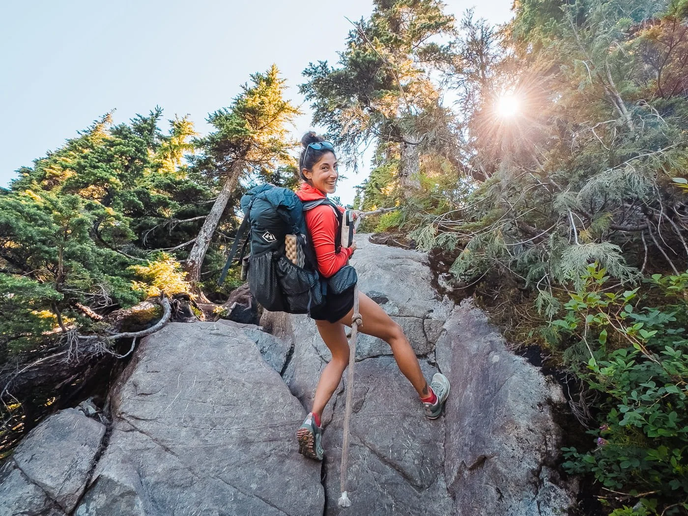
Hand Line along the Howe Sound Crest Trail
What to Expect Along the Trail
The trail begins at Cypress Mountain Resort and follows the Howe Sound Crest Trail north, climbing through forest, boardwalk sections, and open meadow before reaching St. Mark's Summit, then continuing on to the summit of Unnecessary Mountain. Below is what to expect section by section along the trail.
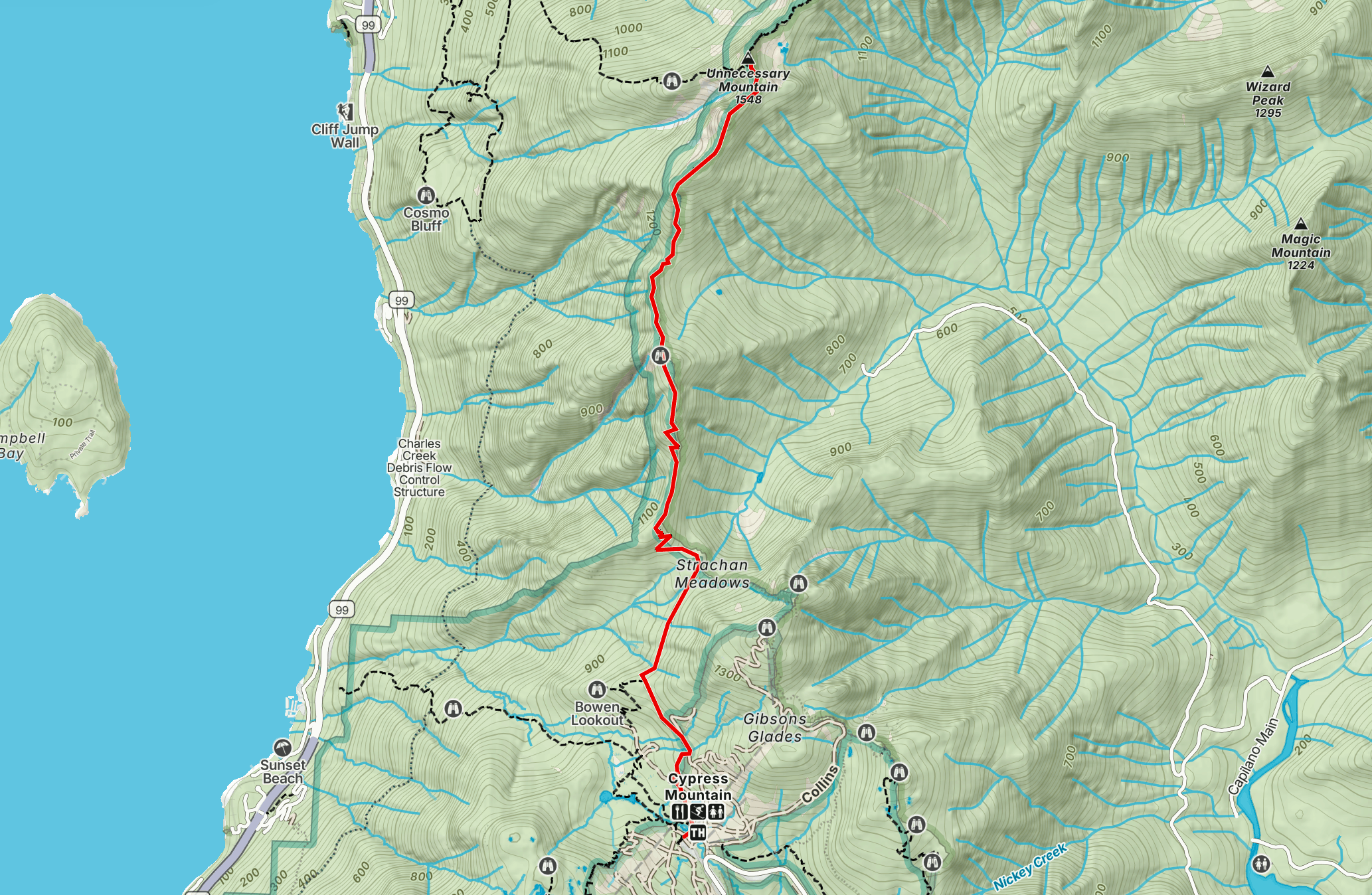
Overview of the route to Unnecessary Mountain. View the full GaiaGPS route here.
Cypress Mountain Resort to St. Mark's Summit
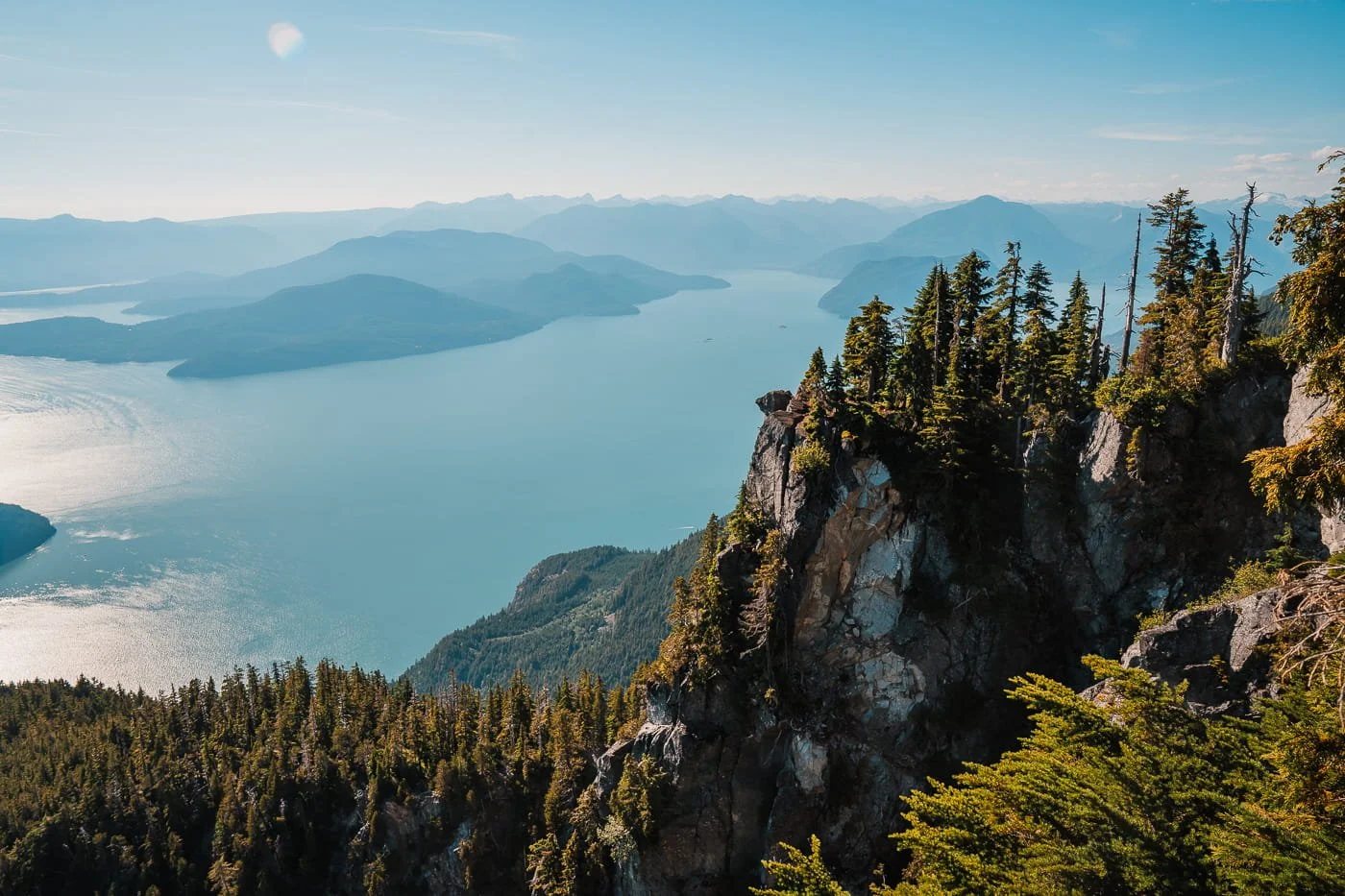
View of the Howe Sound from Saint Mark’s Summit
Total Distance: 4.8 km (3 miles) | Elevation Gain: 481 m (1,578 feet)
The trail starts near the Cypress Mountain Resort Lodge and climbs up along the ski resort boundaries on a forested maintenance road. This first stretch sees a lot of day-hiker traffic since St. Mark's Summit is a popular destination on its own. The trail continues to gain gradually until ~3.4 km where you’ll drop in elevation before starting the steepest section of climbing at 4 km to the St. Mark’s Summit.
St. Mark's Summit is a great spot to take a break and check the views before continuing on. From here you get a solid look out over Howe Sound, and it's the main turnaround point for day hikers. Once you continue past the view point, the crowds thin out a lot more.
St. Mark's Summit to Unnecessary Mountain
Ridgeline view from the Howe Sound Crest Trail
Total Distance: 2.9 km (1.8 miles) | Elevation Gain: 372 m (1,220 feet)
Past St. Mark's Summit, the trail drops into a mountain saddle before climbing back up toward the south peak of Unnecessary Mountain. You stay in the forest for a lot of the descent and then break into the alpine once you reach the south summit. Expect rougher, more technical rocky and rooted footing, more exposed sections, and a noticeable drop-off in foot traffic.
In early July, we were able to filter water near the south summit, before heading up to the true summit of Unnecessary Mountain. If you see water here, take some time to fill up before continuing on to where you will camp.
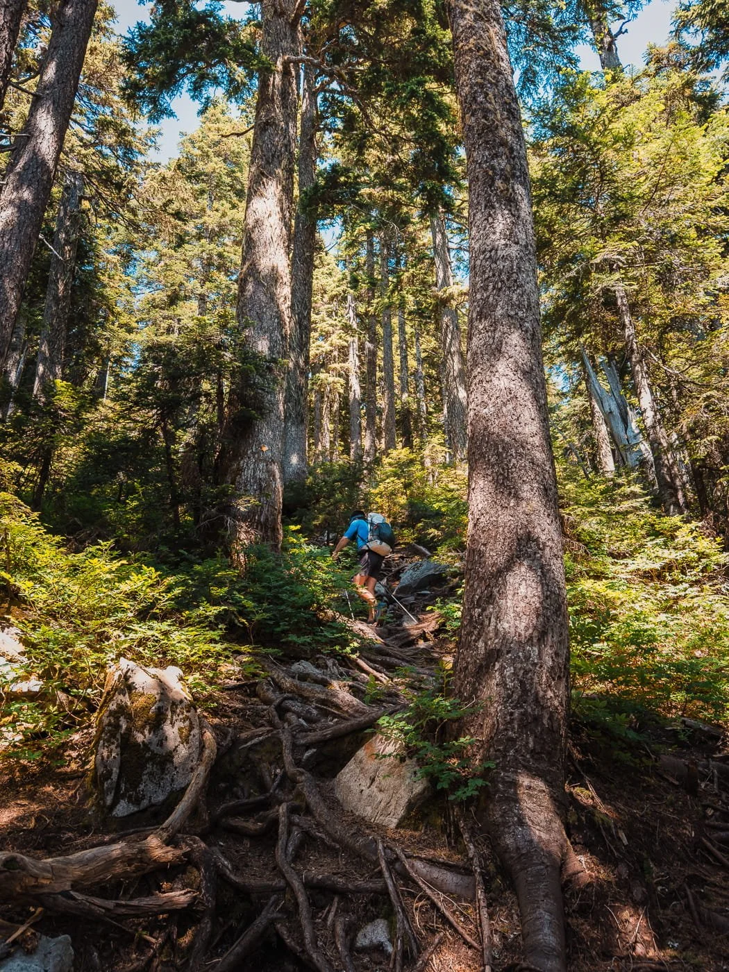
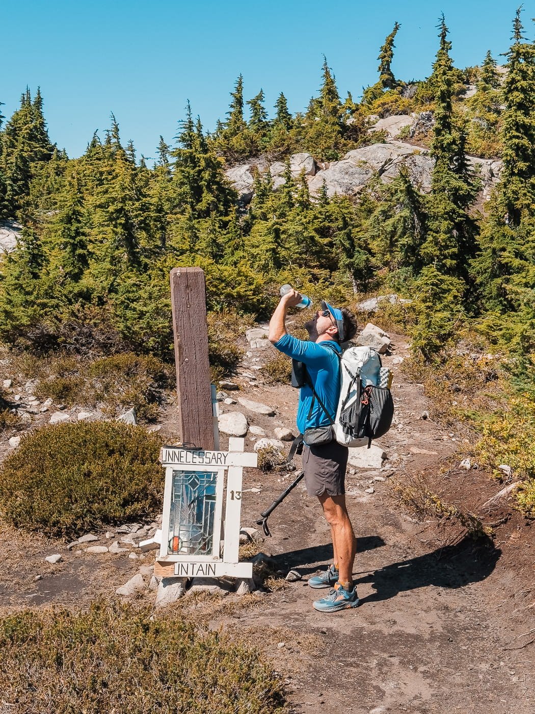
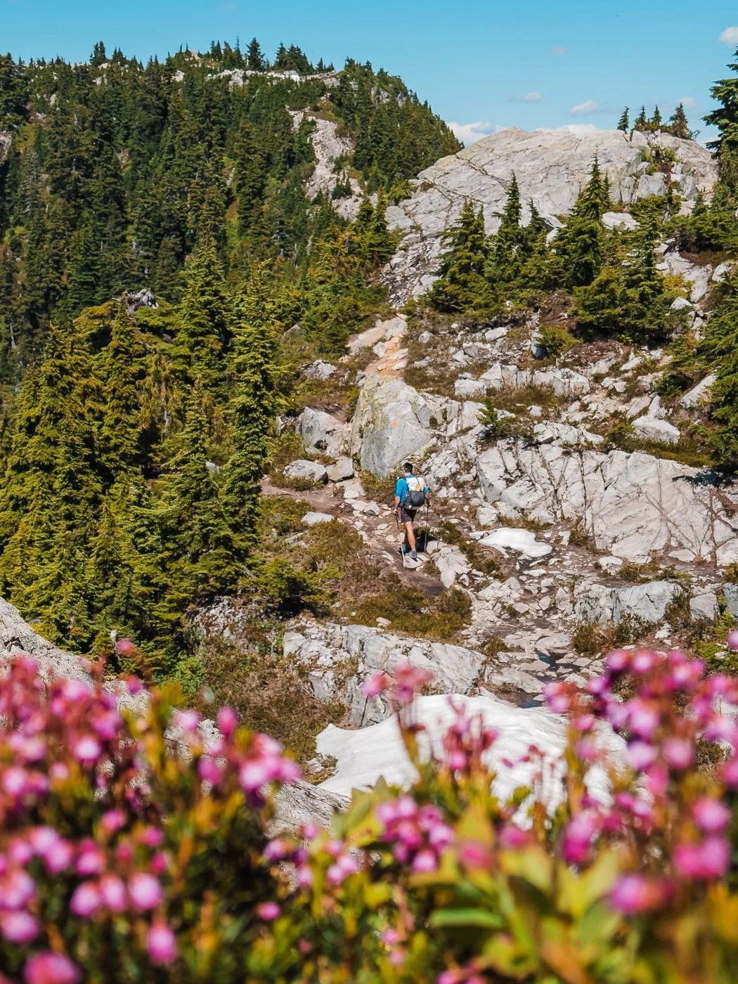
The final push to the true summit of Unnecessary Mountain continues the steep up and downs, and includes a rope section with down climb, and then some rocky steps back up towards where you will want to camp. This section of trail rewards you with wide views over Howe Sound and the surrounding peaks of Cypress Provincial Park.
In total, the one-way distance from the trailhead to the summit is about 7.7 km (4.8 miles), with 853 m (2,799 feet) of elevation gain. The hard part isn’t the distance, it really is the continuous up and down feel of the trail.
Optional Day Hike From Camp: Hike to the Lions or Past to Enchantment Pass
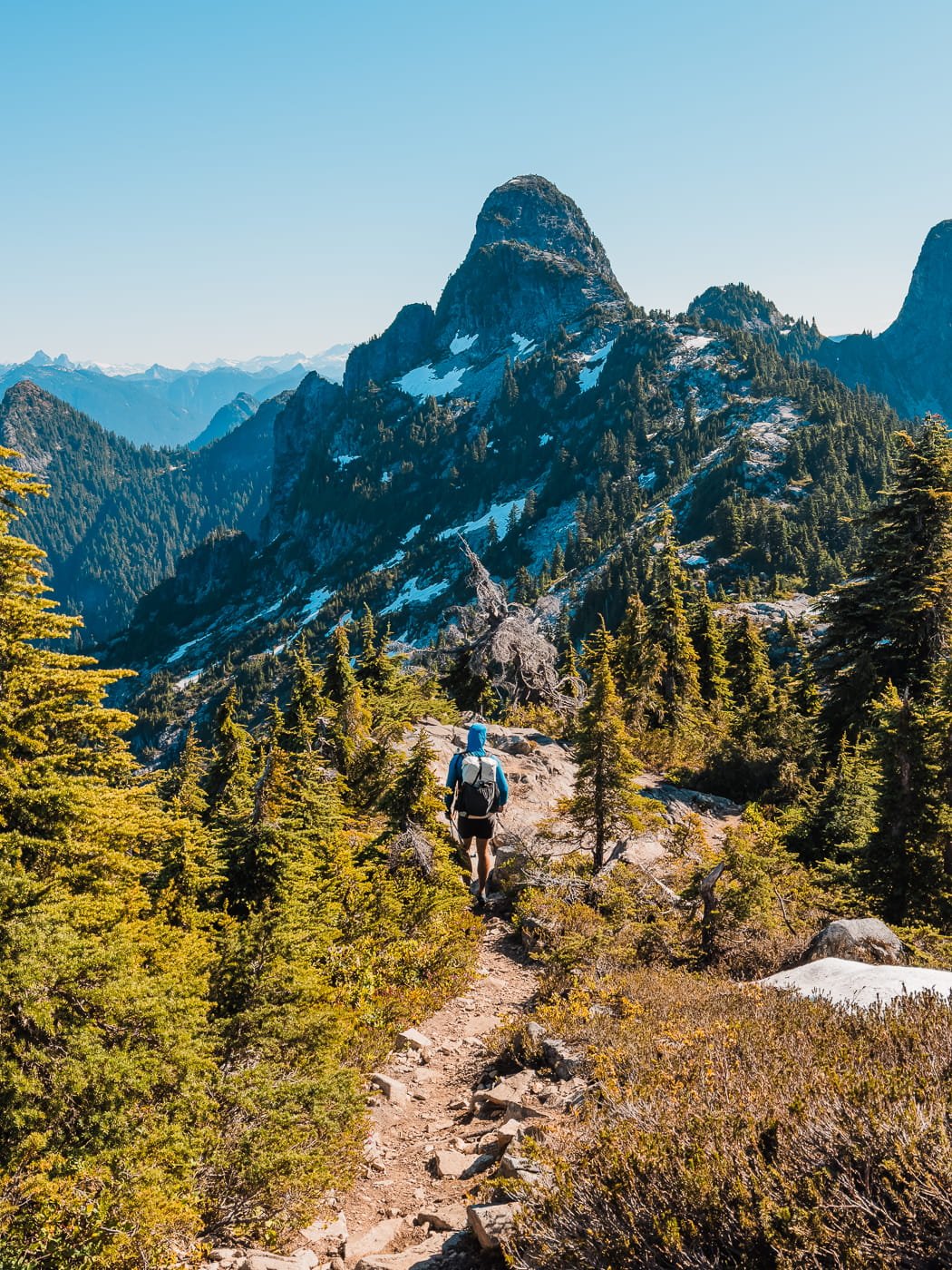
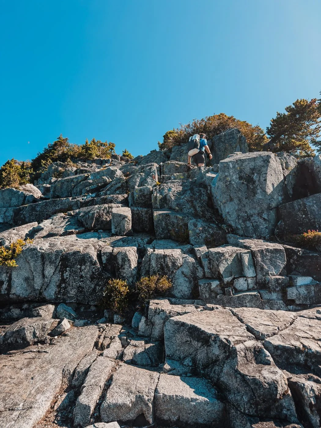
Total Distance: 3.2 km (2 miles) | Elevation Gain: 500 m (1,640 feet)
If you are spending an extra night or got to camp super early, you can day hike farther along the HSCT for a little more elevation gain and scrambling. When we backpacked, we hiked past the Lions to a view point before Enchantment Pass before hiking all the way out.
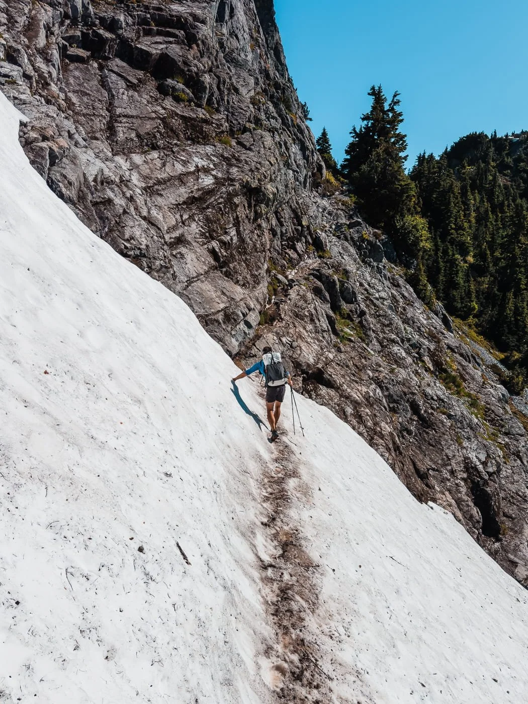
On your way to The Lions, you will descend from Unnecessary Mountain and scramble around some rock slabs, then hike in between the two Lions. When we hiked it, there was a very short but exposed snow bridge to cross (shown above), that may or may not be there in later season. From there you can really go as far as you want, up to James Peak, or even farther along the HSCT. Since we only spent one night, we stopped just before Enchantment Pass where there were snow patches to filter water and a nice view looking east.
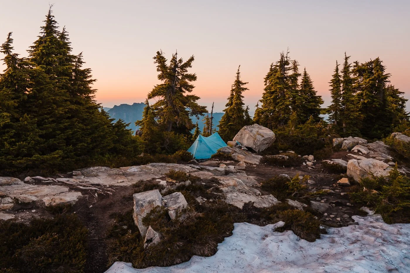
Unnecessary Mountain Campsite
Camping on Unnecessary Mountain
Camping on Unnecessary Mountain is unmaintained (you won’t find any tent platforms or designated campsites), which we think is part of the appeal if you're looking for a quieter, more alpine feel than some of the more developed backcountry campgrounds closer to Vancouver. Because there can be wind up high, you will want to pick a more sheltered site, not right on the true summit rock slabs.
There are roughly three dirt tent spots around the summit of Unnecessary Mountain. All campsites here and along the Howe Sound Crest Trail are first-come, first-served, with no toilets, no bear caches, and no other amenities, so plan accordingly. We also found a rock slab camping spot before the summit as well as another camping spot further north along the trail. All the sites we located are on our GaiaGPS Map for Unnecessary Mountain.
Because there's no reservation system, arriving with a flexible plan and a backup campsite option in mind is a good idea, especially on summer weekends. Make sure to practice proper food storage using a bear bag like an Ursack or a bear bin, and be prepared to treat or filter any water you're able to find, since sources this high up are entirely dependent on lingering snowmelt or some pretty muddy seasonal tarns.
Also, make sure you know how to properly dig a cathole for human waste and pack out your toilet paper and personal hygiene items since there are no toilets along the route.
| Camping Area | Water Availability | Tent Pads | Toilets | Bear Storage | Sun Exposure |
|---|---|---|---|---|---|
| Camping Spots Near Unnecessary Mountain Alpine/Exposed |
Limited and seasonal via snow patches. Generally available until mid-late July |
Dirt or rock slabs |
None |
None |
High, limited tree cover |
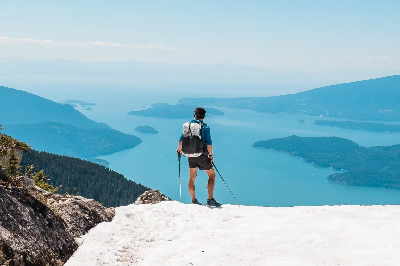
Snowfields and mid-summer views from Howe Sound Crest Trail
Leave No Trace While Camping and Hiking Unnecessary Mountain
Despite how difficult this hike is, the trail does see quite a bit of backpacking traffic and the small camping area on the summit has no facilities, so it's especially important to practice the Seven Principles of Leave No Trace here.
Brush up on how to leave less of an impact below.
- Camp only on tent pads or previously impacted ground. The alpine terrain is fragile and slow to recover.
- No campfires. Bring a camp stove for cooking.
- There's no bear cache at Unnecessary Mountain. Store food properly using a bear canister, Ursack, or a bear hang.
- Pack out everything. All trash, food scraps, and toilet paper.
- Dig catholes or pack out human waste. There are no toilets along the entire section of this trail. Be sure to dig a cathole at least 6-8 inches deep and 200 feet from water or trails.
- Don't feed wildlife. Don't feed birds, squirrels, or anything else that comes looking.
- Be considerate of neighboring campers. With only a few dirt tent spots and no reservation system, keep noise and light down after dark and be prepared to share the space.
- Drones are not permitted. BC Parks prohibits drones in the backcountry without prior permission.
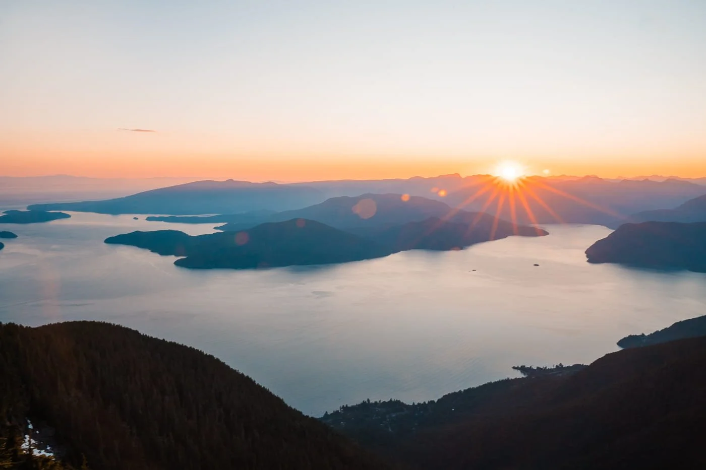
Sunset view from Unnecessary Mountain
Suggested Backpacking Itineraries for Unnecessary Mountain
1-Night: Cypress Mountain Resort to Unnecessary Mountain (Out and Back)
Day 1: Start at Cypress Mountain Resort and hike the Howe Sound Crest Trail past St. Mark's Summit to the summit of Unnecessary Mountain ~7.7 km (4.8 miles) and ~853 m (2,799 feet) of gain. Set up camp and enjoy the views over Howe Sound.
Day 2: Hike back out the same way to Cypress Mountain Resort.
Total trip: ~15.5 km (9.6 miles), ~1,094 m (3,589 feet) of cumulative elevation gain round trip.
2-Nights: Cypress Mountain Resort to Unnecessary Mountain with Day Hike to Enchantment Pass or James Peak (Out and Back)
Day 1: Start at Cypress Mountain Resort and hike the Howe Sound Crest Trail past St. Mark's Summit to the summit of Unnecessary Mountain ~7.7 km (4.8 miles) and ~853 m (2,799 feet) of gain. Set up camp and enjoy the views and sunset over Howe Sound.
Day 2: Day hike from camp farther along the Howe Sound Crest Trail, past the Lions to Enchantment Pass or James Peak and then back to camp, about 3.2 km (2 miles) and 500 m (1,640 feet) of gain. It looks like a short distance but all of the elevation gain and loss makes for a longer than expected day.
Day 3: Hike back out the same way to Cypress Mountain Resort.
Total trip: ~18.7 km (11.6 miles), ~1,523 m (4,998 feet) of cumulative elevation gain round trip.
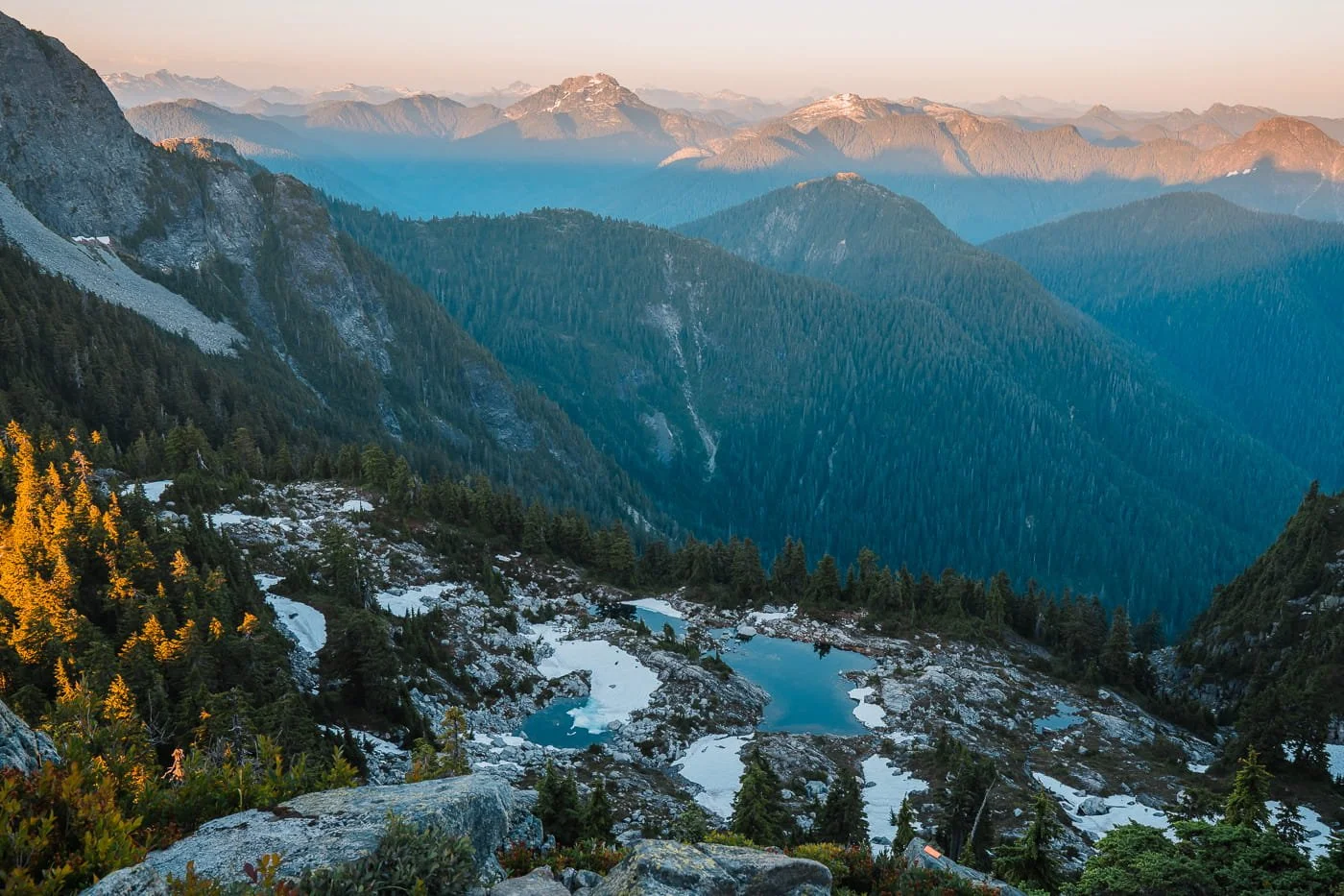
Trail leading downward past the West Lion and Thomas Peak on the Howe Sound Crest Trail
When to Hike: Seasonality for Backpacking Unnecessary Mountain
Timing this trip right basically comes down to trail snow levels and water availability. The only water source near the summit depends entirely on lingering snowmelt, the season you pick changes both how comfortable the trail is and how much weight you're carrying.
Below is a season-by-season breakdown of what to expect, what to pack, and when we'd recommend going.
| Season | Conditions | Recommended Gear | Recommendation |
|---|---|---|---|
| Early Season Late May – June Advanced |
|
|
Recommended for advanced backpackers with snow travel experience only. Check current trail conditions before you go. |
| Peak Summer Top Pick Early to Mid-July Intermediate |
|
|
This is the best window to catch both good trail conditions and a reliable water source at the summit. |
| Late Summer August – Mid-September Intermediate |
|
|
Stable weather but plan ahead on water. Be prepared to carry all the water you'll need |
| Fall / Shoulder Season Mid-September – October Advanced |
|
|
A quieter, moodier time to backpack Unnecessary Mountain, if the weather cooperates. |
Additional Weather and Trail Resources to Check Before Your Trip
BC Parks Cypress Provincial Park Page – Official rules, regulations, closures, and current backcountry camping information
Windy.com Forecast For Unnecessary Mountain – Detailed hourly and multi-day forecasts for the area
BC Wildfire Service Dashboard – Official updates on wildfire activity and evacuation orders
FireSmoke.ca – Wildfire smoke dispersion forecasts for BC and Canada
GaiaGPS Route - Our downloadable backpacking route, map and camping spots
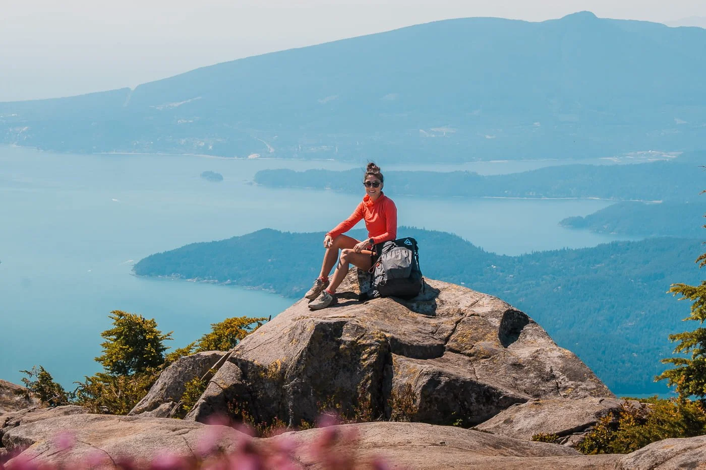
Enjoying the afternoon views along the trail
What to Pack for Backpacking Unnecessary Mountain
This is a short trip on paper, but the steep, sustained climbing and unreliable water sources make it more demanding than the mileage suggests. Below are some of our go-to backpacking items for a trip like this, and make sure to check out our full Backpacking Packing Guide for a detailed rundown of our favorite pieces of gear and what to pack for summer backpacking trips.
Backpacking Big Three: Backpack, Tent, & Sleep System
For every backpacking trip, you’ll need your backpacking big three, which includes your pack, tent, and full sleep system (sleeping bag or quilt, sleeping pad, and pillow). Below is what we packed as our big three for our backpacking trip up Unnecessary Mountain.
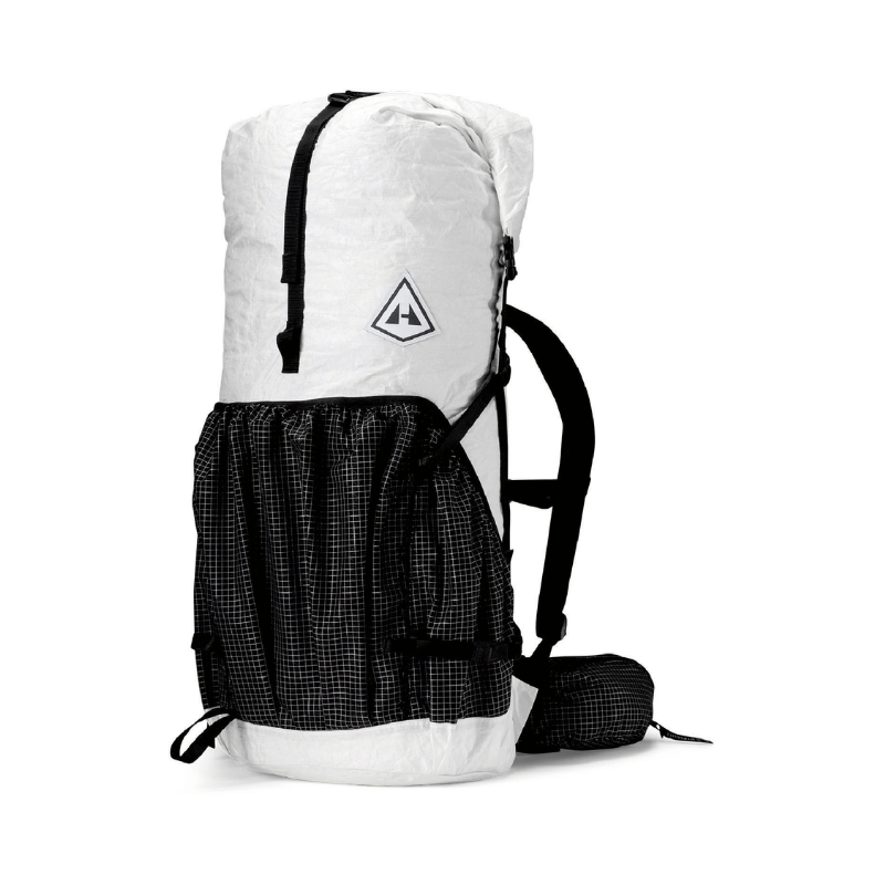
Backpack: A comfortable, lightweight pack in the 40-50L range is ideal for a 1-2 night trip. Our all-time favorite backpacking pack that we both brought on this trip is the Hyperlite Mountain Gear Southwest 55L. It’s an ultralight (under 2 lbs) roll top pack, so you can make it a lot smaller when you have less gear. Ours were not at full capacity for this one night trip.
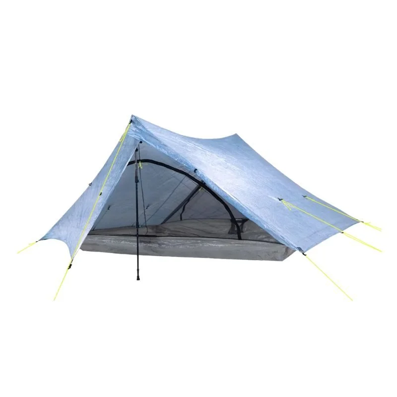
Tent/Shelter: On this trip we brought our Zpacks Triplex which is about 1.5 lbs for a three person tent, it’s very spacious for two people which means we can bring our packs and gear inside at night.
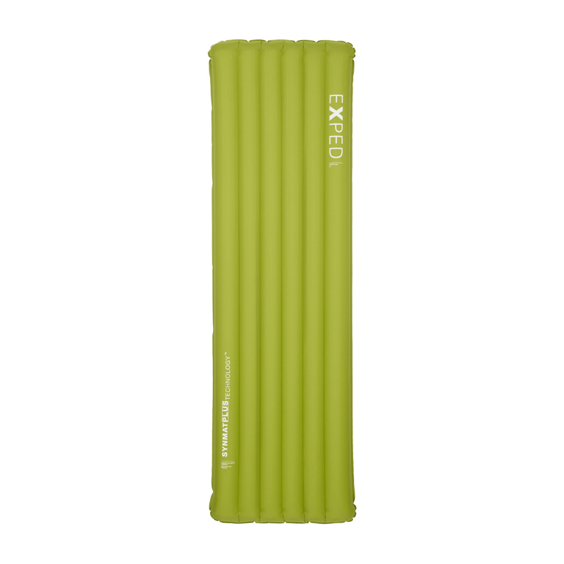
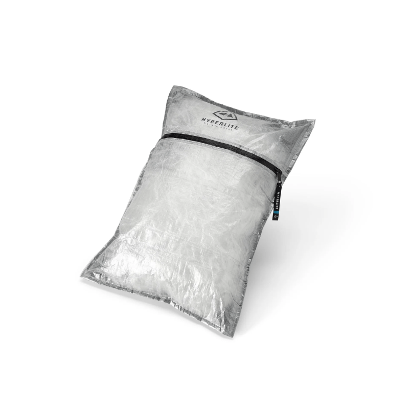
Sleep System (Sleeping Bag or Quilt & Sleeping Pad): We both use ultralight quilts instead of sleeping bags, and we can’t recommend making this switch enough to save weight and bulk. For this trip, we brought our 20-degree Hyperlite quilts. And for sleeping pads, we like the Exped Ultra 6.5R for a high R-value and they are super comfortable for a lightweight pad.
Backpacking Kitchen & Food Storage
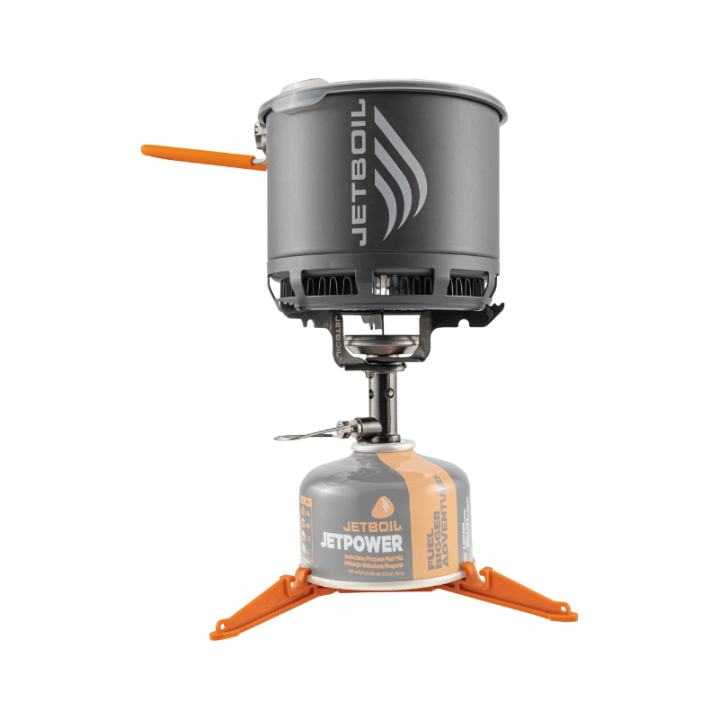
Our backpacking cook set up is about as minimal as we can get it, and we love our Jetboil Stash stove for boiling water and cooking dinner. And it’s especially important on this trail to have your food storage down, we always backpack with a bear bag (make sure to know how to tie and hang properly), but a bear canister would work well too.
Stove & Pot Set: We have been using our Jetboil Stash cook system for a few years now and it is the lightest Jetboil on the market. The pot is the perfect size for boiling water for freeze dried meals and coffee. Just don’t forget a small fuel canister and lighter.
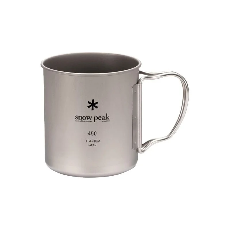
Mug: We usually share a mug for coffee in the morning, and have been using a Snow Peak ultralight mug for years.
Long Spoon or Spork: Essential for eating out of a backpacking meal bag. You always want to make sure to pack your spoon/spork, trust us, it’s no fun to try to figure out how to eat without one.
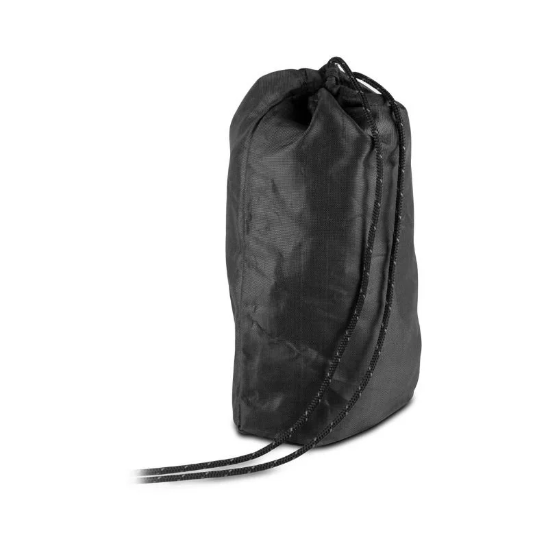
Ursack Bear Bag: We always prefer to backpack with an Ursack bear bag when it’s allowed. You do need to have a tree to hang it in, which there were some near the summit, and make sure you know how to tie and hang the bag properly. A normal stuff sack is not good enough as rodents and bears can chew through it.
Freeze Dried Backpacking Meals: This is the easiest and fastest way to have breakfast and dinner at camp. We normally share a breakfast meal but each bring our own dinners.

→ For a full packing list and everything you will need to camp, check out our dedicated guide on What to Pack for Backpacking. And, if you're interested in lowering your backpacking base weight and going ultralight (we can’t recommend this enough for hard trails like this), we also have a gear guide focused on the best of the best ultralight backpacking gear.
Hot sunny days turn quickly into cool breezy nights
What to Wear for Backpacking Unnecessary Mountain
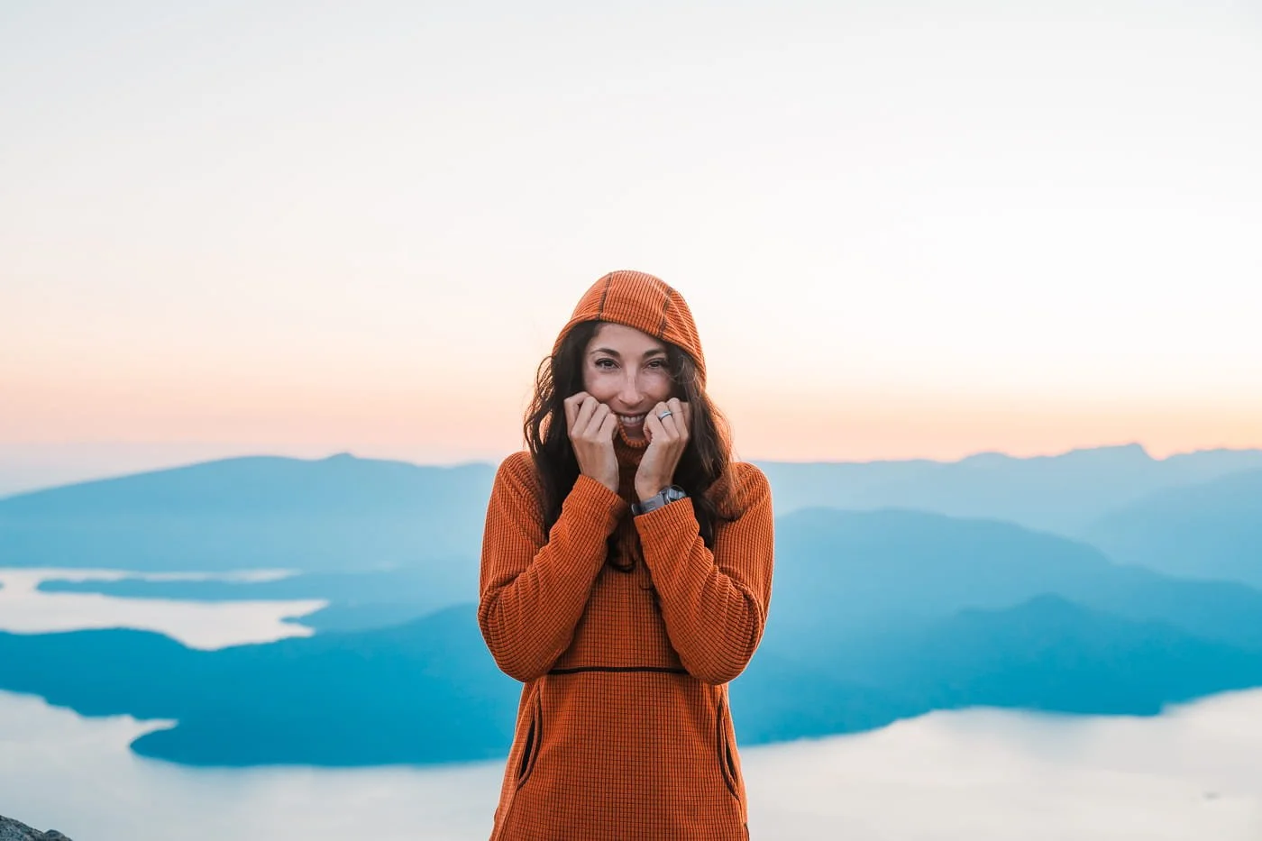
Being on a high ridgeline next to the ocean means weather on the Howe Sound Crest Trail can shift quickly. You'll want to be ready for wind, sun, cold temperatures, and the chance of rain, even in July.
We normally break up backpacking clothing into two categories, what to wear on the trail, and what you will want to have at camp. Just remember, you don’t need doubles of anything (besides maybe socks and underwear) for a one to two night trip.
Clothing Worn on Trail
Sun Hoodie: Our favorite hiking top is a sun hoodie to help protect against the sun on exposed trails. For more details on our favorites, check out our Sun Hoodie Gear Guide.
Shorts: We both prefer to hike in shorts in the summer, and normally both prefer running shorts. Pants are always an option, but we highly recommend shorts for this trail.
Hiking Socks: A good pair of socks is the key to not getting blisters on your hike. Our favorite are Injinji toe socks, but wool boot socks work great for those who don’t want their toes separated.
Trail Runners or Hiking Boots: For this trail, and always in the summer, we both hike in trail runners, our favorites being Altra Timps. But if you need extra ankle support, hiking boots with good traction will work here too.
Sun Hat or Visor: Once you break out of the forest, the trail is very exposed to the sun. We both brought visors on this trip, and it was especially helpful to have while using our bug head nets.
Optional Bug Head Net: The bugs were very bad when we did this hike, Skye wore her bug net even while hiking.
Clothing Packed for at Camp
Fleece Mid-Layer: We always pack a fleece mid-layer to wear at camp once temperatures drop and sometimes even to sleep in. For a full guide on mid-layers for backpacking, check out our Mid-Layer Gear Guide.
Base Layer Top & Bottoms: This is what we like to sleep in at camp, even in the summer it can get cool overnight, and we like to have something clean to put on. We also both always pack a pair of clean sleep socks to change into.
A Puffy Jacket: Packing a down or synthetic jacket is a must for at camp, and if you are using a stuff sack pillow, you’ll need a down jacket to stuff it with.
Rain Jacket: This is just in case, but the weather can be unpredictable above the sound, so even if rain isn’t in the forecast, we still pack an ultralight rain shell.
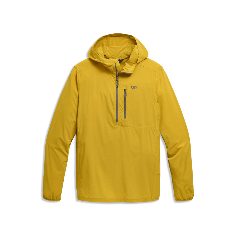

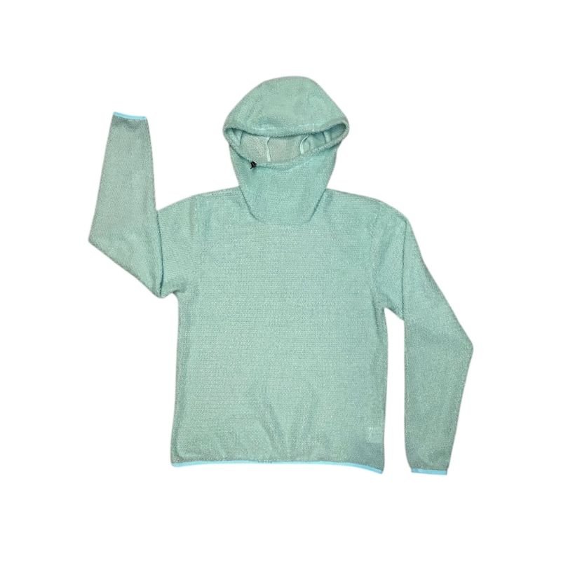
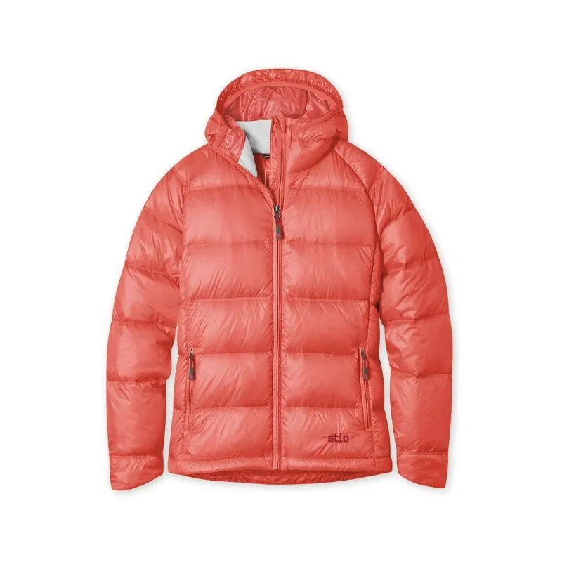
Backpacking Gear Guides & What to Pack
What to Wear for Hiking & Backpacking - A detailed guide that goes into all the types of clothing to bring, what to wear on trail, and what to pack.
Best Fleece Mid-Layers for Hiking & Backpacking - A gear review on all different types of fleece mid-layers, with information on type of fleece, use case, and weight.
The Best Sun Hoodies and Sun Shirts for Hiking & Backpacking - Over the years we have tested almost every sun hoodie on the market, and this is a deep dive into our favorites for specific activities.
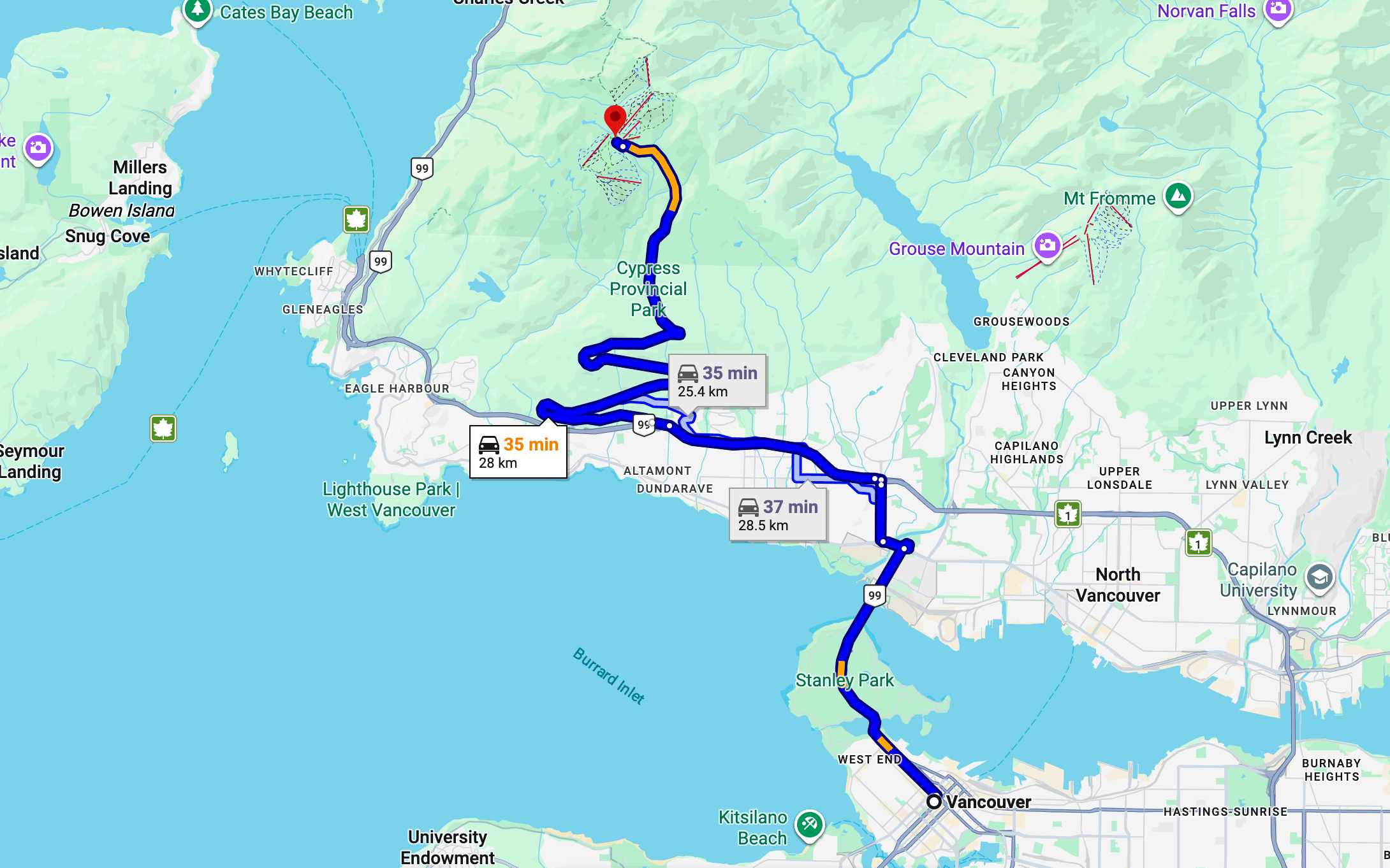
General driving route from Downtown Vancouver to Cypress Mountain Resort
How to Get to Cypress Mountain Resort in British Columbia
Cypress Mountain Resort is easily accessible by car and sits close to Vancouver, making this a great option for a weekend trip without a long drive. The trailhead is located near the Eagle Express chairlift at the resort, with day-use parking available and no permit required. We’ve seen other backpackers even get picked up by an Uber in the Cypress Mountain Resort parking lot so that’s an option too.
| From | Distance | Drive Time | Directions |
|---|---|---|---|
| Vancouver, BC | 30 km / 19 mi | 30 – 45 min | Get Directions ↗ |
| Seattle, WA | 250 km / 155 mi | 3.5 – 4 hrs | Get Directions ↗ |
Where to Stay Near Unnecessary Mountain
There are a few good options for staying near Cypress Mountain Resort the night before or after your trip so you can get an early start and cutback on your driving time the morning of your trip. Below are the best options.
Nearby Campgrounds
The closest campground to Cypress Mountain is Capilano RV & Camping in West Vancouver, it’s about 9 km (15 minutes) from the trailhead at the resort. It's a developed campground rather than a backcountry site, so expect showers, RV hookups, and other basics.
If you're planning the full Howe Sound Crest Trail thru-hike rather than just the out-and-back to Unnecessary Mountain, Porteau Cove Provincial Park has a drive-in campground near the trail's northern end, which can be a useful place to stage a vehicle or spend the night before or after tackling the shuttle logistics.
Hotels in Vancouver
If you'd rather sleep in a real bed and grab a proper meal before or after your trip, North Vancouver is only about 30–45 minutes from the trailhead. That makes it an easy option even with an early start. It also gives you a lot more flexibility for food, gear stores, and gas stops than staying in the Cypress Mountain Resort parking lot. Note that both camping and hotels fill up and often have high season pricing in the summer time.
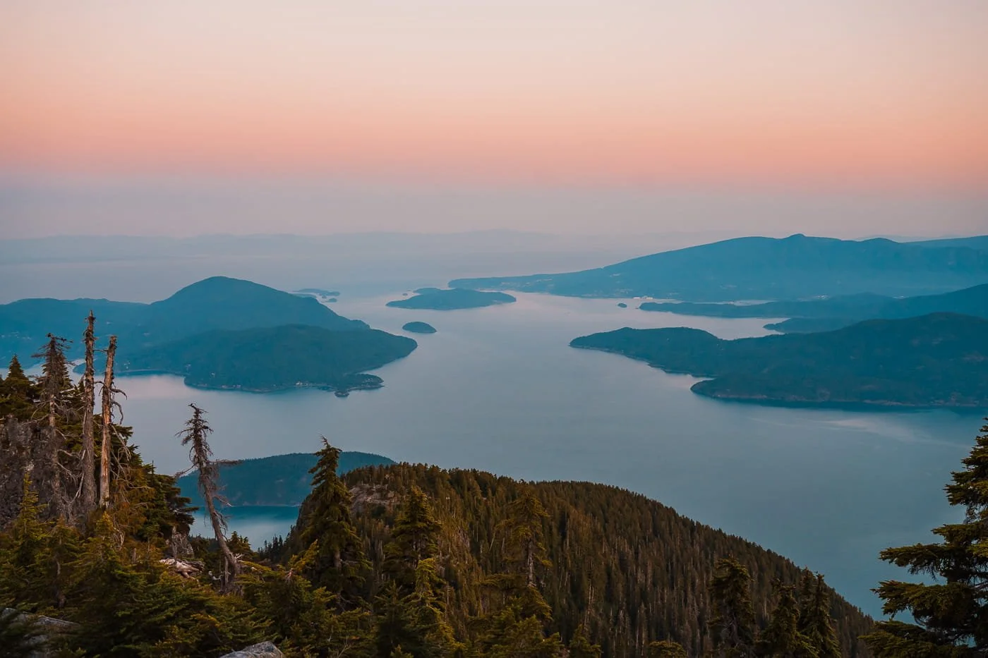
Sunset views of the Howe Sound from Unnecessary Mountain
FAQ: Backpacking Unnecessary Mountain Along the Howe Sound Crest Trail
Do I need a permit to backpack to Unnecessary Mountain?
No. Camping at Unnecessary Mountain doesn't require a reservation or permit. It’s first-come, first-served. Check the Cypress Provincial Park page for the most current backcountry camping rules before you go.
How hard is the hike to Unnecessary Mountain?
It's rated difficult. The route is 15.5 km (9.6 mi) round trip with about 1,094 m (3,589 ft) of cumulative elevation gain, and the climbing is steep and sustained for nearly the entire route with very little flat recovery ground.
Is there water along the trail to Unnecessary Mountain?
Water is unreliable and depends on lingering snowpack. It typically holds into July but is often gone by August. Bring more water capacity than you think you'll need, especially later in the season.
Where can I camp at Unnecessary Mountain?
There are no formally named or reserved campsites, just about three dirt, first-come, first-served tent spots at the summit with no facilities.
Is this part of a longer thru-hike?
Yes. Unnecessary Mountain is the first major landmark on the full Howe Sound Crest Trail, which continues north through The Lions, James Peak, David Peak, and Magnesia Meadows before ending at the Howe Sound Crest Trail parking lot near Porteau Cove. It's typically done as a one to two night point-to-point trip and requires a car shuttle between trailheads.
What's the best time of year to backpack to Unnecessary Mountain?
Early to mid-July is our top pick. Snowmelt is usually still providing a water source and the trail is generally clear enough to travel safely.
Are campfires allowed at Unnecessary Mountain?
No. Campfires are permanently banned throughout Cypress Provincial Park. Bring a camp stove.
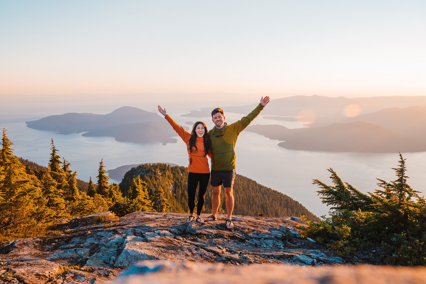
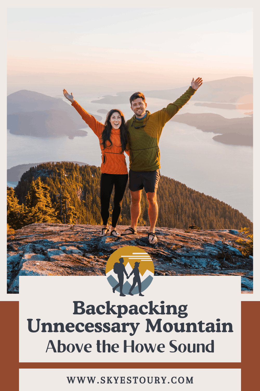
Skye and Garrett celebrating at the summit of Unnecessary Mountain
Final Thoughts on Backpacking Unnecessary Mountain
If you don’t have time to hike the full Howe Sound Crest Trail, we cannot recommend backpacking to Unnecessary Mountain enough. The trail is hard, but the views from camp are amazing and definitely make it worth it. And if you have an extra night or two and a car shuttle, do consider hiking the full HSCT for even more amazing views and a very adventurous trip.
When we backpacked Unnecessary Mountain, we absolutely loved watching the sunset from the true summit, just a minute’s walk from where we camped. The color and glow above the Howe Sound was stunning, and make sure to bring your camera. The sunrise was not as colorful, but still worth waking up for.
Make sure to stop at St. Mark’s Summit along the way on your way up or down, it’s an amazing view on its own and this route allows you to check that hike off as well.
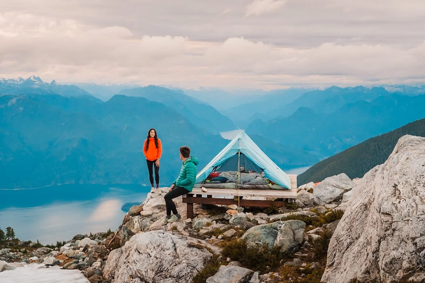
Camping at Panorama Ridge at Golden Ears Provincial Park
More Hiking & Backpacking Trips to Add to Your List
Bucket List Trips in British Columbia & Beyond
Backpacking Panorama Ridge & Golden Ears Summit - British Columbia
Hiking to Joffre Lakes Near Pemberton - British Columbia
Hiking to the Summit of the Sea to Sky Gondola in Squamish - British Columbia
Backpacking Berg Lake in Mount Robson - British Columbia
Backpacking Mount Assiniboine in the Canadian Rockies - British Columbia
Ultimate Guide to Backpacking the Enchantments - Washington
Hiking & Camping at Colchuck Lake in the Enchantments - Washington
The Cathedral Pass Loop Backpacking Guide - Washington
Backpacking Gear Guides
Liked this Post? Pin it & Save it for Later

The Climb vs. Sea to Summit Trail: Hike to the Top of the Sea to Sky Gondola in Squamish, BC
Joffre Lakes Day Hike Guide: Permits and Trail Details in British Columbia
This image is copyrighted and owned by Skye Stoury Photography and skyestoury.com, if you would like to licence any images on this site, please email us at hello@skyestoury.com