Three Turquoise Lakes, One Trail: Everything You Need to Know to Hike Joffre Lakes in 2026
This is a very popular and permitted trail, for good reason, all three lakes are bright blue (yes, as blue as they look in photos), and the trail is relatively short and well graded. It’s definitely a must to hike when you are visiting Western British Columbia, and one we can’t recommend enough. We’ve hiked a lot of trails throughout BC and this is by far one of the most beautiful.
Joffre Lakes had been on my hiking bucket list for years, but we’d always passed through the area in September when the trail was closed. Finally we were staying in Pemberton over summer and got to finally hike this amazing trail. It was a little smoky when we hiked, but the views were still absolutely stunning.
After spending months in the Squamish and Whistler areas each year, we have checked off a lot of hikes and climbs in this area, and Joffre is one of the best. We hiked on a Monday in mid-July and started early to beat the crowds and the heat, which worked out well. This is a semi short hike in terms of mileage and elevation gain, but don’t underestimate the trail. We saw a lot of underprepared hikers, so make sure to read through all of this information on the trail, what to expect, and what to pack, before your hike.
This guide covers everything you need to know to get a permit for the trail (day hike or overnight), what to expect throughout each section of trail, where the best view points are and what to pack with you for a successful hike.
If you’re spending more time in British Columbia, make sure to check out our other hiking and backpacking guides for BC and for more to do in the Sea to Sky, our guide on How to Spend the Perfect Weekend in Squamish.
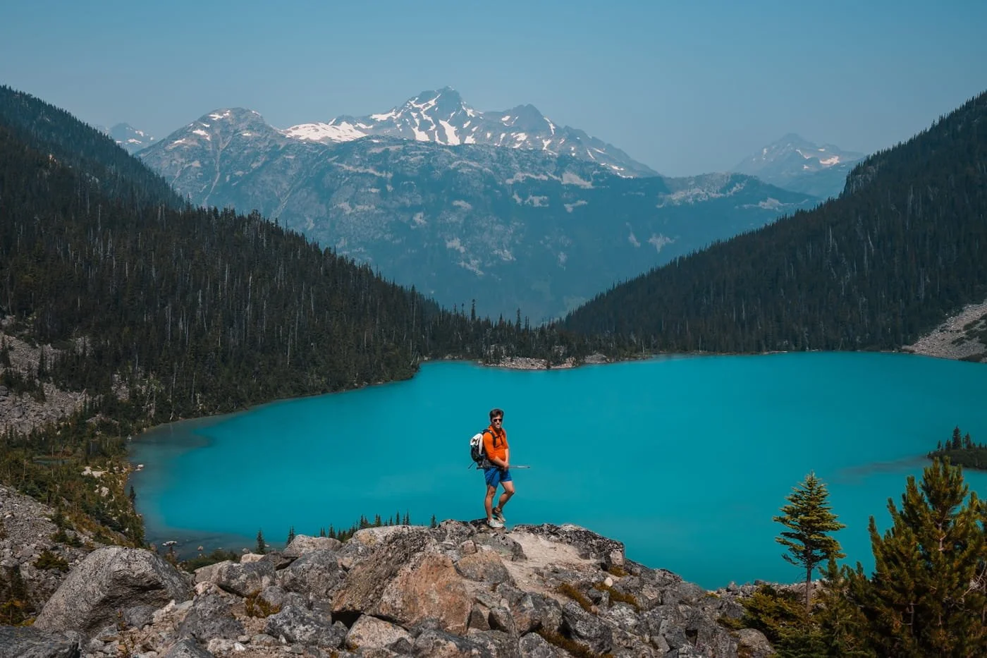
The viewpoint above Upper Joffre Lake Campground
Quick Facts: Hiking to Joffre Lakes
Joffre Lakes is a moderate hike in terms of distance and elevation gain. The trail is well graded and well maintained, but does have sections with quite a few stairs, walking across boulder fields, and some board walk sections. We would honestly consider this trail easy as fit hikers and backpackers, but if you are not hiking regularly, the moderate rating is accurate for most hikers.
Distance
7.2 km (4.5 mi) round trip to Upper Joffre Lake
Elevation Gain
356 m (1,168 ft) to Upper Joffre Lake viewpoint
Difficulty
Moderate
Recommended Duration
4-6 hours
Day Hike Permit
Yes, 2 days before trip
Parking Pass
None other than your hiking permit
Vehicle Access
All vehicles, paved road, gravel parking lot
Dogs
Not allowed on trail
Cell Service
None, have your permit printed or downloaded
Popularity
Very popular
Backpacking Overnight Permit & Campground Info
Permit required: can be reserved online 3 months in advance of your start date. Distance to campground: 8.8 km (5.4 mi). Elevation Gain: 372 m (1,220 ft).
Affiliate Disclaimer: This blog post contains affiliate links, meaning we receive a small commission on every purchase made with our links at no additional cost to you. Sometimes there is even a discount code for our readers which we specify next to the links.
Table of Contents
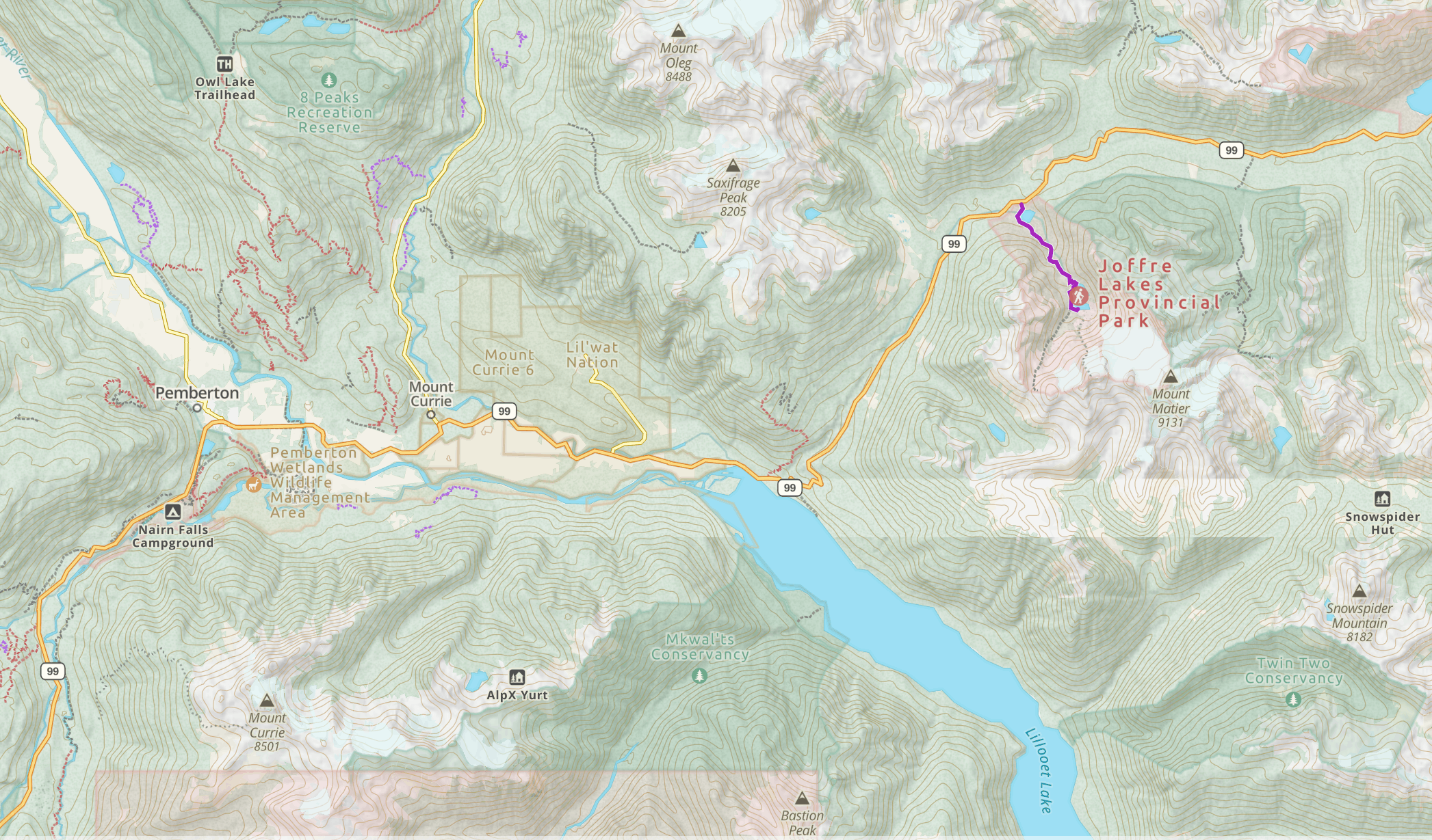
Map of Joffre Lakes area
Where is Joffre Lakes Located?
Joffre Lakes Provincial Park sits along Duffey Lake Road (Highway 99), about 30 minutes from Pemberton, British Columbia and roughly an hour north of Whistler. The trailhead is easy to find right off the highway, no rough access road or long approach required, which is a big part of why the park protects three glacier-fed lakes, Lower, Middle, and Upper Joffre, beneath big alpine peaks and sees the crowds it does.
The area between North Joffre Creek and Cayoosh Pass is known as Pipi7íyekw in the St̓atímcets language, a camping place where storage houses once stood, and it holds deep significance to the Líl̓wat Nation and N'Quatqua. The park closes to the public for stretches in late June and September so these communities can access and care for the land. It’s worth building into your trip planning early (more on exact dates below). That same accessibility is also why Joffre now runs on a reservation system for both day-use and camping, which we'll walk you through further down.
Permits and Passes: What You Need to Hike in Joffre Lakes Provincial Park
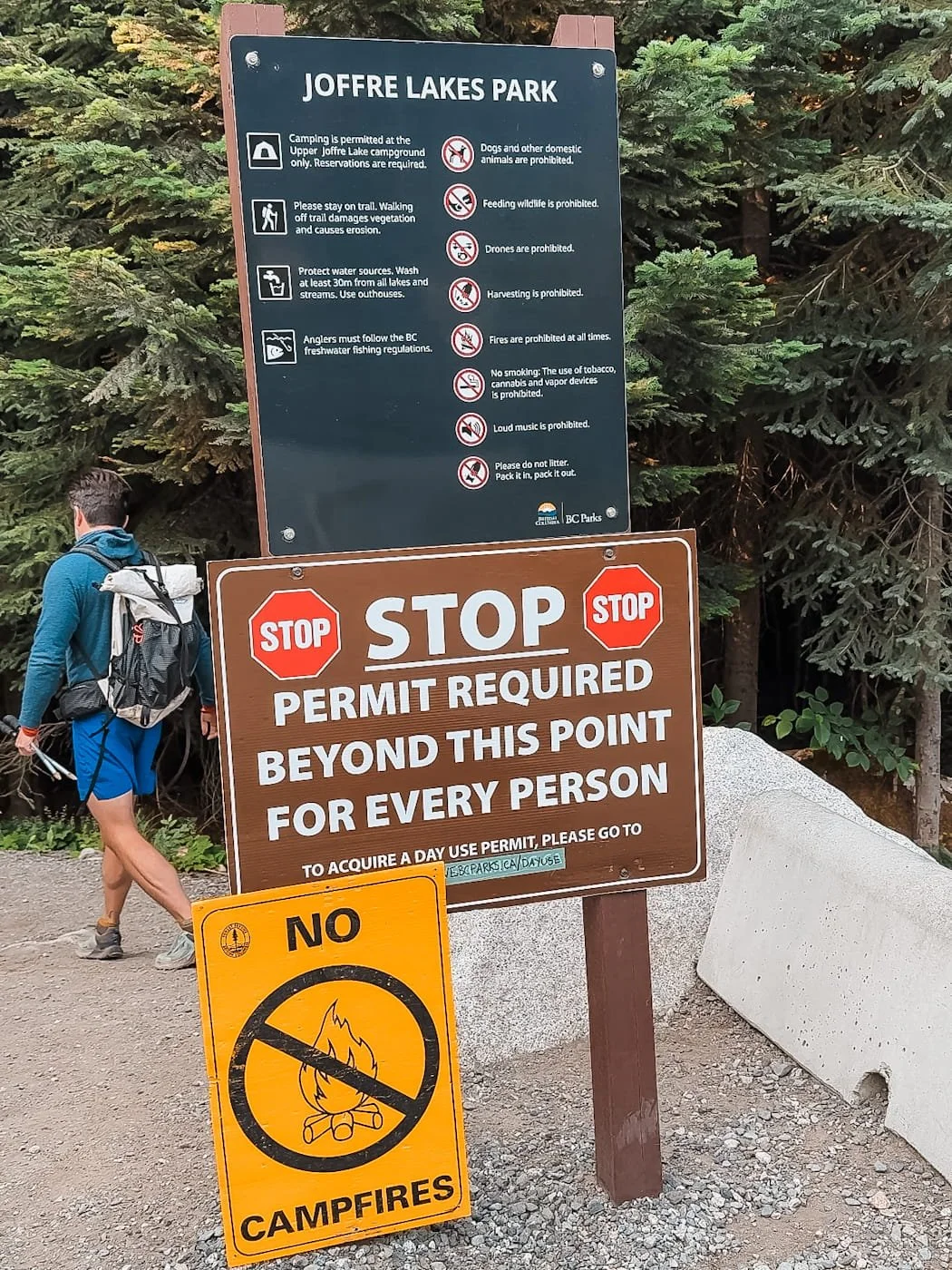
Unlike a lot of alpine lake hikes in the Pacific Northwest, Joffre Lakes has a reservation system for both day hiking and backpacking. Between the Joffre Lakes trail's soaring popularity and its cultural significance to the Líl̓wat Nation and N'Quatqua, BC Parks has moved to required passes for both day hikers and campers. This is actually good news because of how popular this hike is and the permit system is very straightforward.
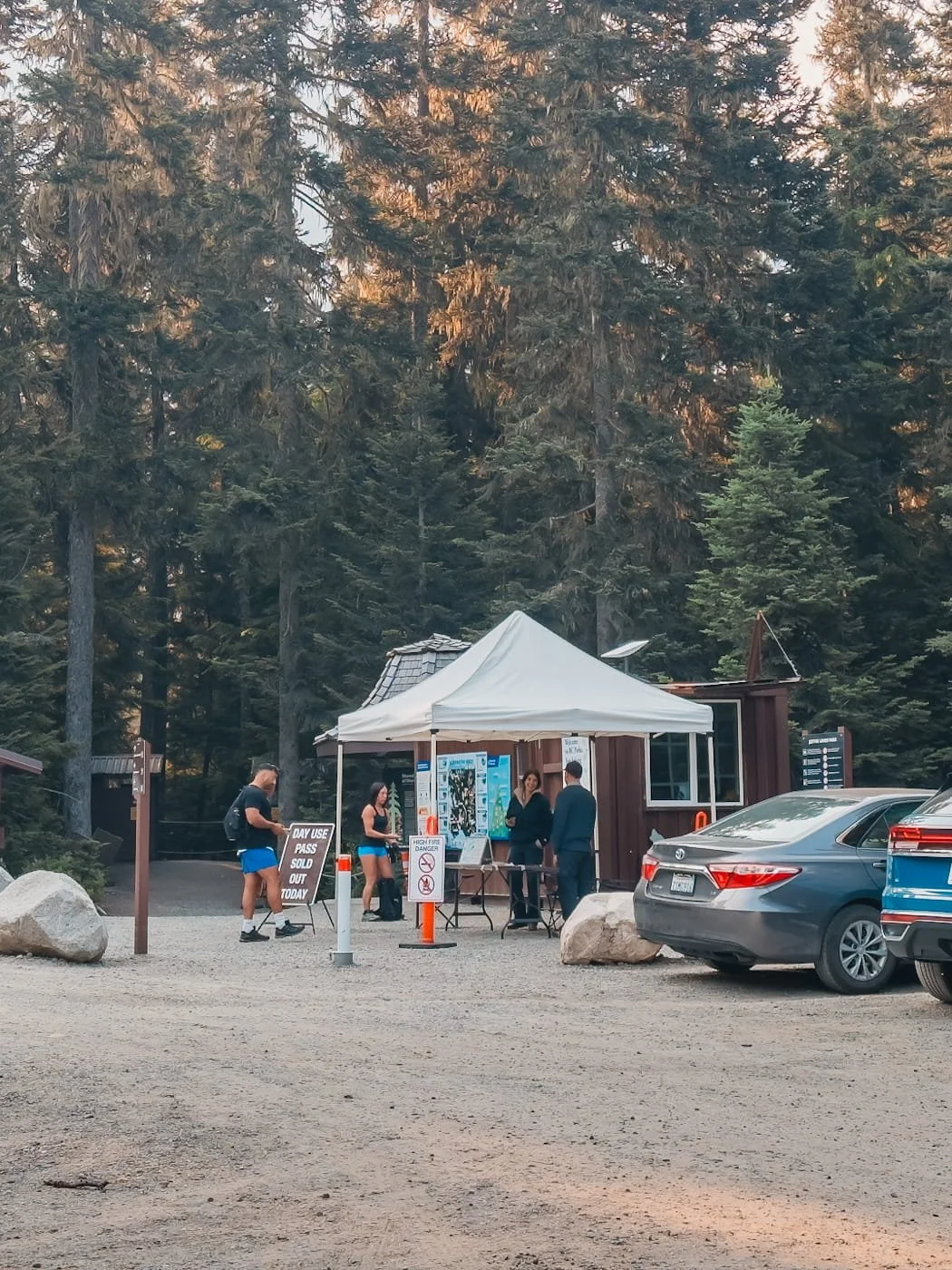
There are rangers at the trailhead checking permits, and there is no cell service at the trailhead, so no matter which permit you have, make sure to have it printed, downloaded, or a screen shot on your phone to be able to enter the trail.
Seasonal Trail Closure: June 20–27 & September 8–30, 2026
One more thing before you book anything: the park closes to the public entirely for stretches in late June and September for the Líl̓wat Nation and N’Quatqua Indigenous Peoples. Passes simply won't be available during those windows no matter how early you try to book. The park is currently scheduled to close June 20–27 and September 8–30, 2026, though these dates have shifted in past years, so it's worth double-checking current closure dates on bcparks.ca before you book.
We've personally been in the area expecting to hike in September and found no permits available online and the park closed to the public, so make sure to check your dates in advance.
Day-Use Passes: What You Need to Hike Joffre Lakes
If you're doing Joffre Lakes as a day hike (what this guide focuses on), you'll need a free day-use pass, required daily from May 11 through October 25, outside of the park's closure periods. These book through the BC Parks reservation system and are tied to a specific date, so you can't just grab one on your way out the door.
Each person in your group needs a pass, but you can get up to four in one reservation. Kids 12 and under don't need their own pass as long as they're with a parent or guardian who has one. Make sure the number of people in your group matches what is on your day hike permit.
You can get your day hiking permit two days in advance on the BC Parks website. At 7am Pacific, go online and select your date (two days from then), you’ll then need to select “All Day” as the permit time, and then add the number of people who will be on your hiking pass. Print or download your confirmation with QR code and have that with you when you arrive at the trailhead. You don’t need a parking pass to park, but you will need to get your QR code scanned and talk to the rangers before they allow you onto the trail.
Pro tip: We've had good luck booking a weekday pass, weekends go fast, so if your schedule is flexible, a weekday gives you better odds.
Backcountry Camping Permits: Staying at Upper Joffre Lake Campground
Camping at Joffre Lakes runs on a totally separate system from the day-use pass, with its own booking window. Reservations for Upper Joffre Lake Campground open at 7am Pacific on a three-month rolling window, so if you've got a date in mind, mark your calendar and be ready right when your window opens. If you already have a valid overnight reservation, you don't need a separate day-use pass, just carry your camping confirmation with you the whole trip.
There are no assigned sites at the campground, it's first-come, first-served once you're up there, so plan to arrive early enough to grab either a wooden platform or a dirt flat spot before they fill. More on what the campground itself is actually like a bit further down.
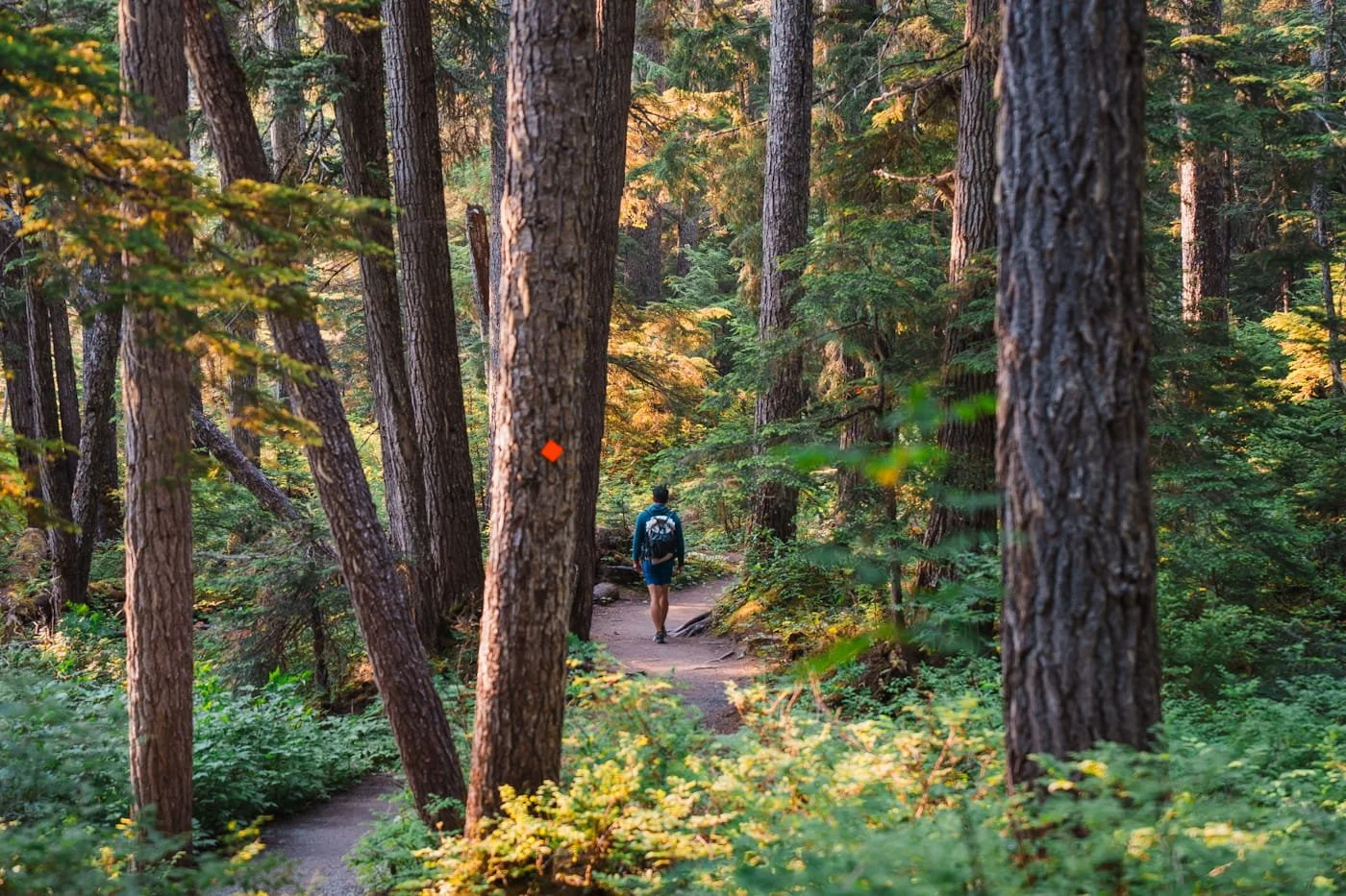
The first section of trail, before it starts to gain elevation, you’ll follow the orange blazes the whole way
Joffre Lakes Trail Hike Difficulty
The trail to Joffre Lakes is generally rated moderate, and honestly, the difficulty comes more from the elevation gain and sections with stairs. There's not really a single steep climb like some alpine hikes. It's more that the trail stays at a steady uphill for the middle portion and getting to the upper lake and campground.
For fit hikers, used to longer mile days, we would call this trail easy. It’s pretty short for amazing views, and the elevation gain is reasonable with no one really hard section. For us it was a short and easy day hike, but if you are not hiking regularly on alpine trails, the moderate rating is more accurate. The trail is well-marked the entire way, so navigation isn't a concern.
The first five minutes out of the parking lot are actually a little bit downhill, a quick warm-up before the real climbing starts. The trail is pretty flat for a little bit and then starts to climb with some stair sections on the way to both the middle and upper lakes.
We started our hike at 8:00am to beat the heat and the crowds, and it really did pay off. On our way down, we passed hikers just heading up between 12 and 1pm in mid-July heat, and all of them were clearly struggling. We also saw a surprising number of people without packs, without much water, or not really dressed for hiking. This is a moderate hike and shouldn't be underestimated. The length, exposure, and elevation gain add up, especially in the heat of the day.
We highly recommend bringing trekking poles for this trail, it will help on the up and save your knees on the sustained descent on the hike out.
→ Check out our Day Hike Packing List to make sure you have the basics dialed in before heading out.
You'll Love This Hike If You:
Are comfortable with a steady, sustained uphill rather than short steep bursts.
Want a big payoff (three lakes, waterfalls, glacier views) for a moderate effort.
Don't mind sharing the trail, this is one of the busiest hikes in BC.
Consider a Different Hike If You:
Are looking for solitude, Joffre Lakes is rarely quiet, even on weekdays.
Have young kids or beginners who'd struggle with 7.2 km (4.5 miles) and steady elevation gain with some stairs and boulder fields to cross.
Are hoping to bring a dog, pets are strictly prohibited here due to bear activity.
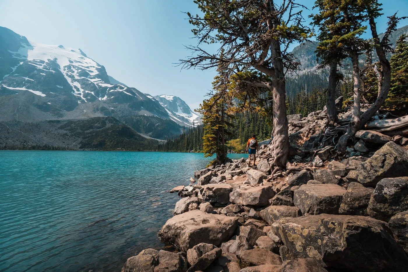
Hiking past the lakeshore where most hikers stop and/or swim (the water is freezing)
Joffre Lakes Trail Guide: Route, Distance & Elevation Gain
The trail to Joffre Lakes follows a single, well-marked path from the parking lot all the way to Upper Lake, with the option to continue further to the campground if you're backpacking. Total round-trip distance to the view point and swimming spot at Upper Joffre Lake is 7.2 km (4.5 miles) with about 356 meters (1,168 feet) of elevation gain. If you continue on to the campground on the other side of Upper Joffre Lake, you are looking at 8.8 km (5.4 miles) and 372 meters (1,220 feet) of gain, with the option to continue hiking even higher along the ridge.
We've broken the hike into four natural sections below so you know exactly what to expect at each stage.
→ Download our Gaia GPS track for this trail so you have it with you on the hike.
Joffre Lakes Elevation Profile
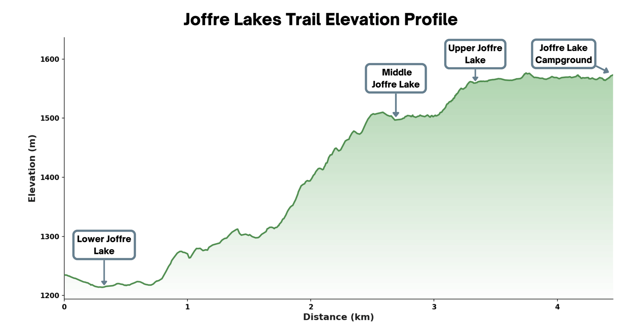
Elevation profile of the the hike to Joffre Lake Campground
Elevation gain to the Upper Lake viewpoint, where most day hikers turn around, is about 356 meters (1,168 feet), but 372 meters (1,220 feet) in total if you continue on to the campground. Pit toilets are available at the trailhead, at Middle Joffre Lake, at Upper Joffre Lake, and near the campground, so you're never too far from one along the way.
Section 1: Trailhead to Lower Joffre Lake (0–0.2 km)
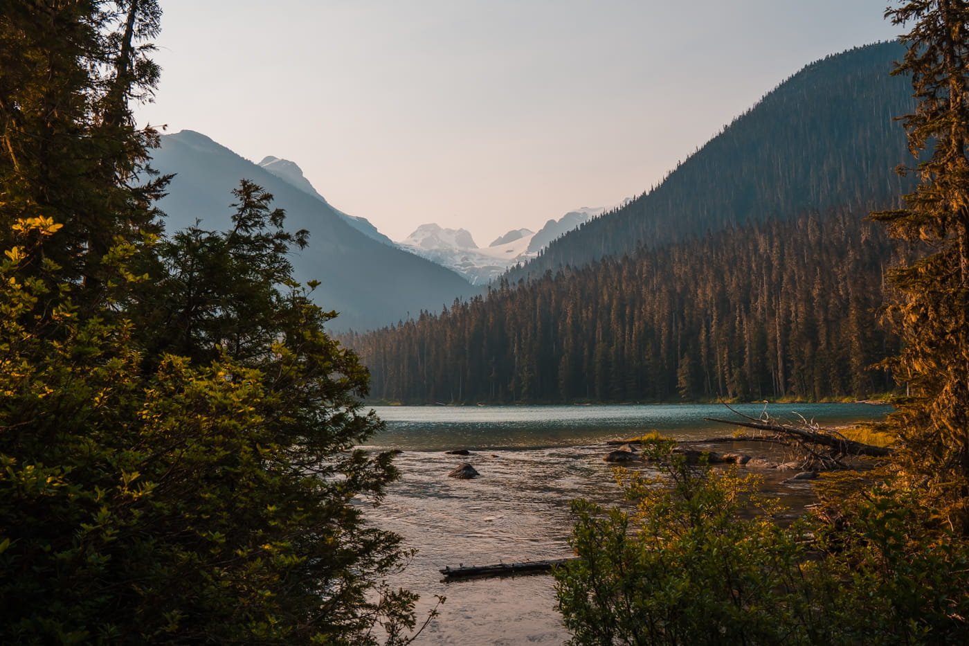
Views of Lower Joffre Lake from the beginning of the trail
This is by far the shortest (0.2 km) and easiest section of trail to get to Lower Joffre Lake. The lake itself is not as photogenic as the others, but it’s still worth a quick stop on the way. From the trailhead, the trail heads slightly down hill and at the fork, head left to walk up to the lake view point. Then continue back to the main trail to get to Middle and Upper Joffre Lakes. This section of trail to the view point is wide and very accessible. You do still need a day hiking permit to access/view Lower Joffre Lake.
Section 2: Lower Joffre Lake to Middle Joffre Lake (0.2–2.6 km)
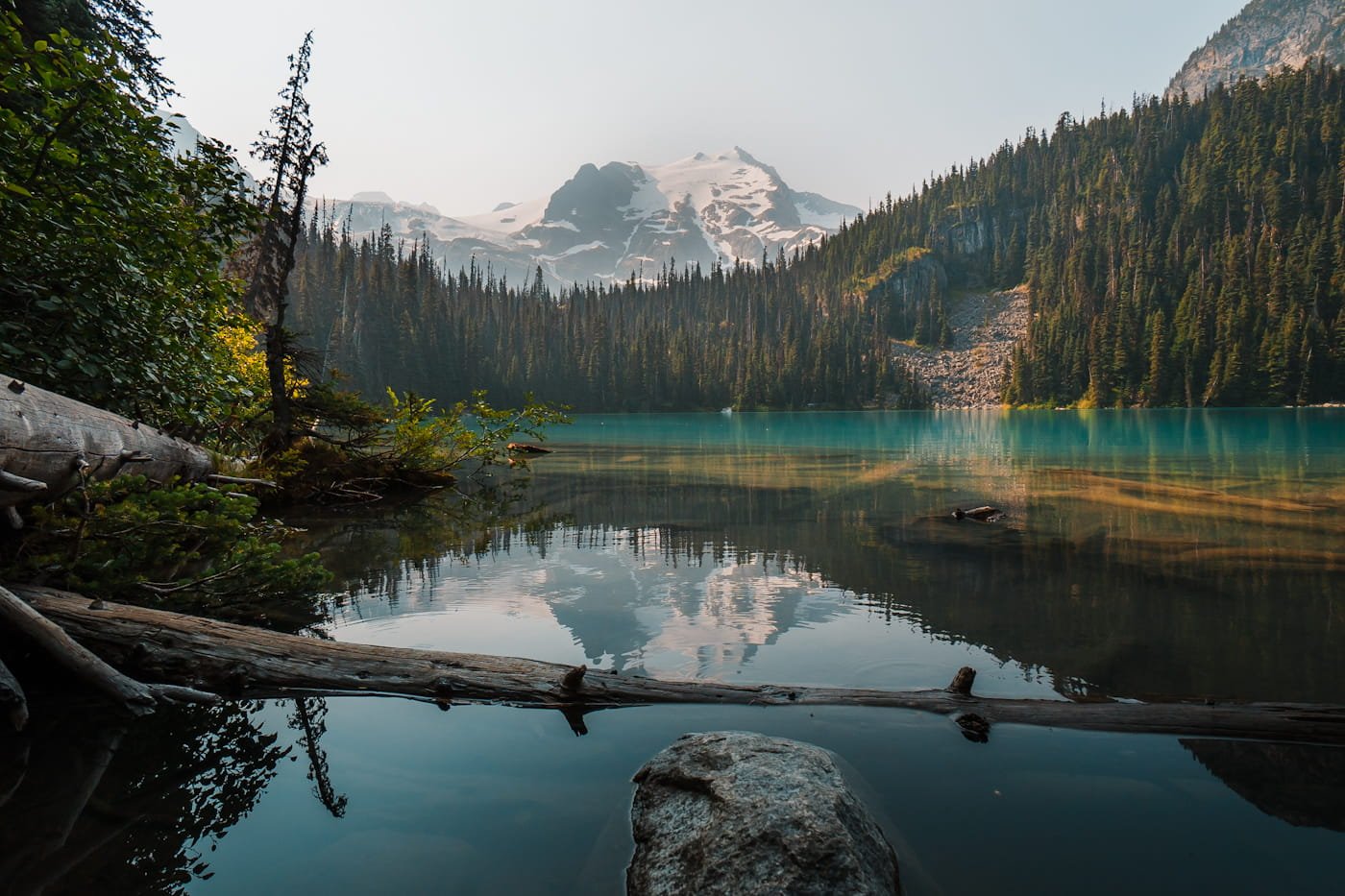
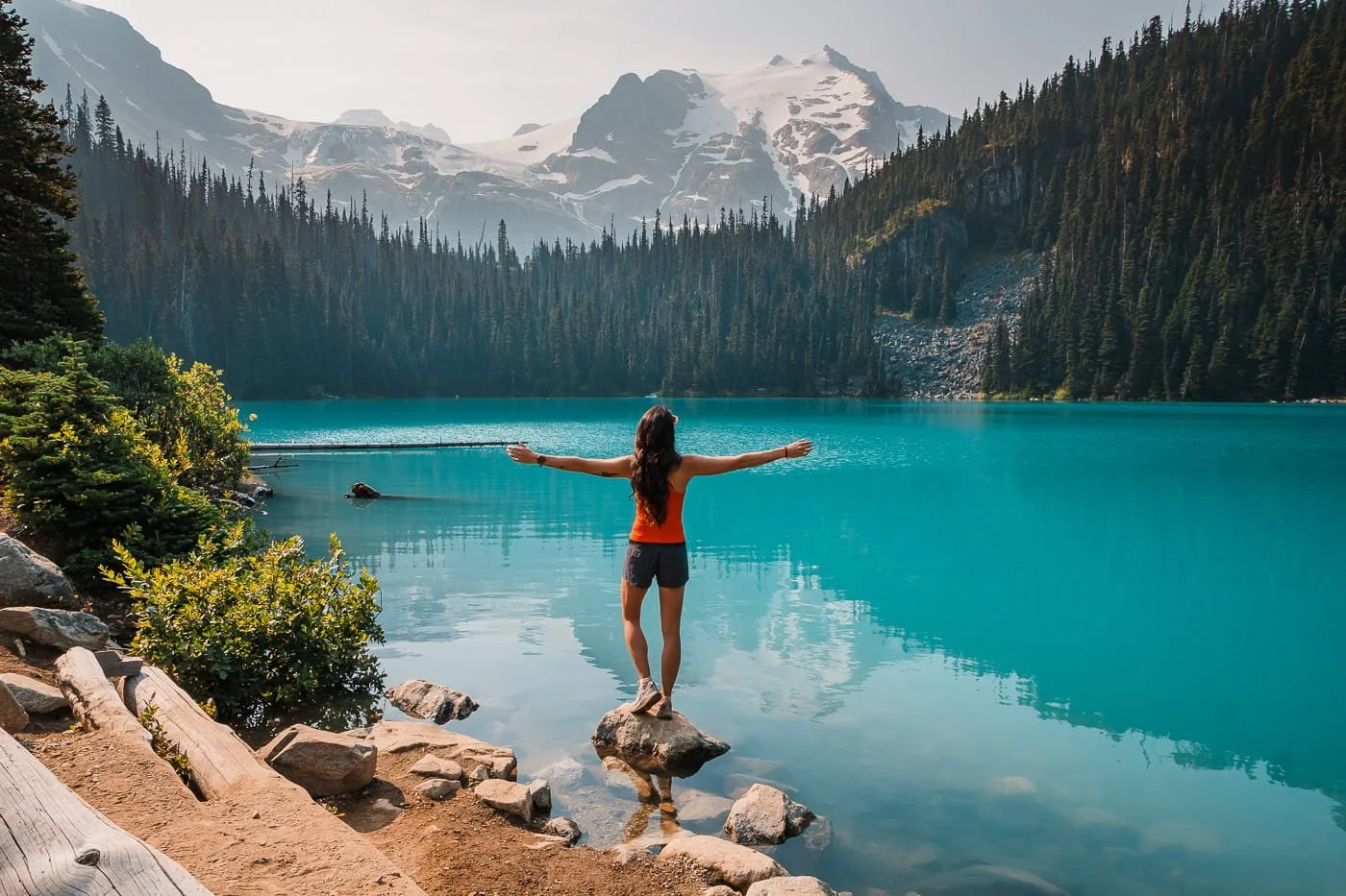
Views from Middle Joffre Lake early in the morning
After viewing Lower Joffre Lake, you will head back to the trail fork and continue on the main trail to Middle Joffre Lake. This section from the trail fork to the first view point at the middle lake is about 2.6 km (1.6 miles) with 288 m (945 feet) of elevation gain. This is honestly the longest and most difficult stretch of trail, but if you pace yourself, you will be fine.
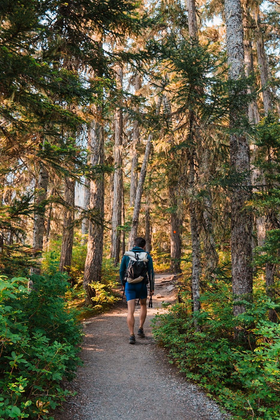
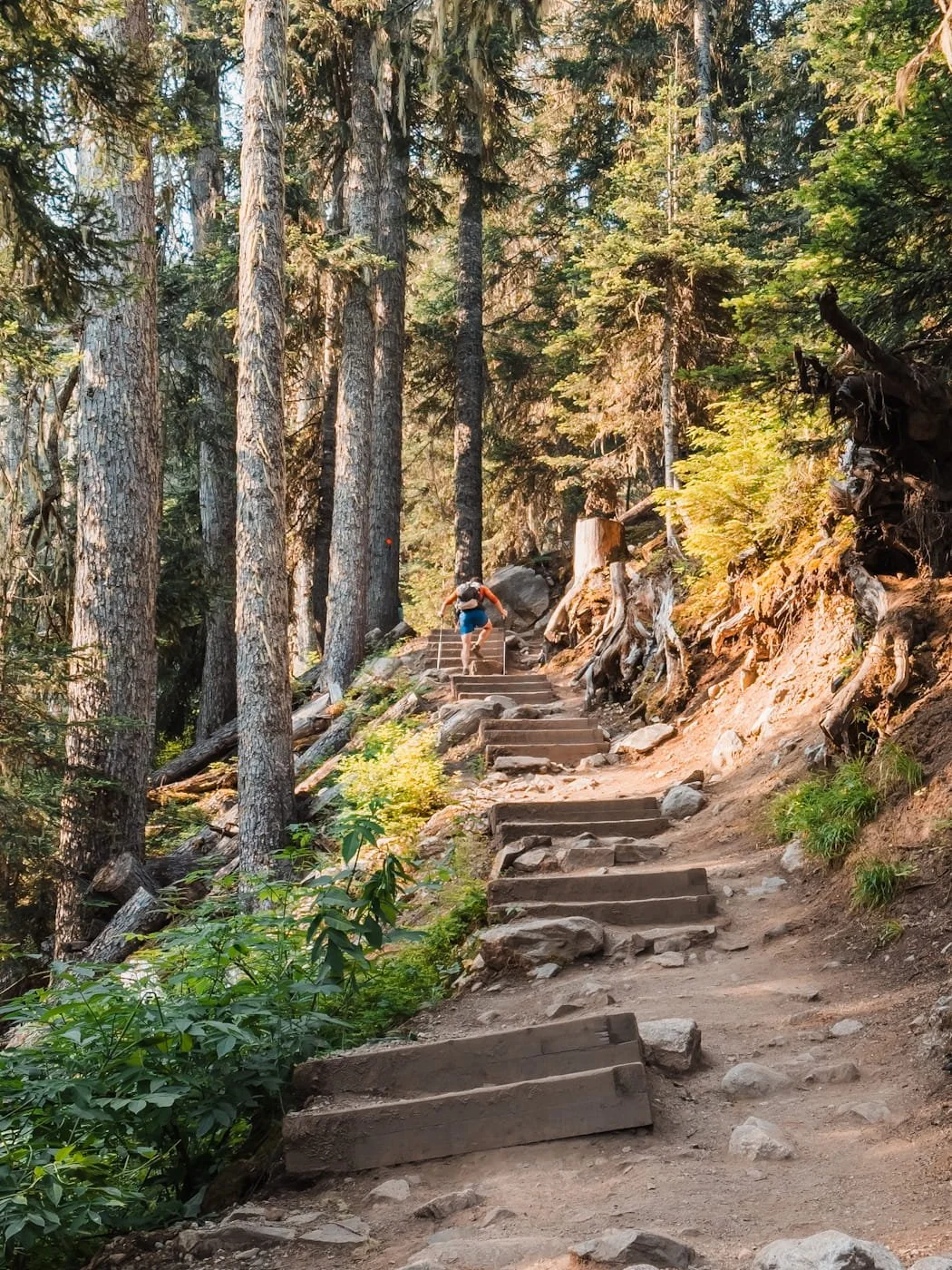
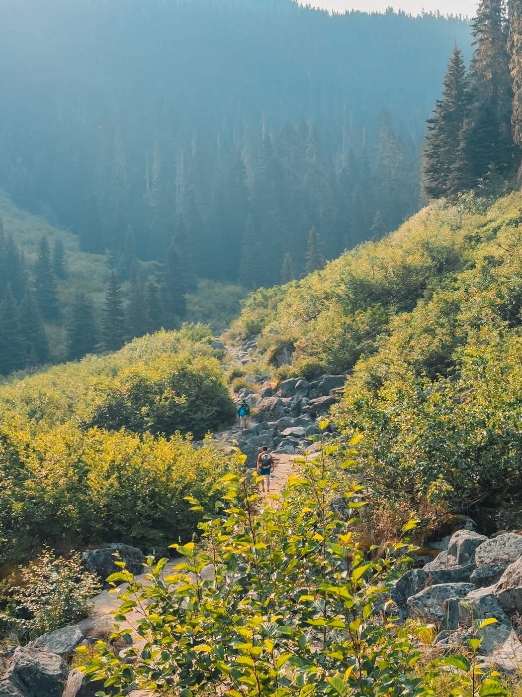
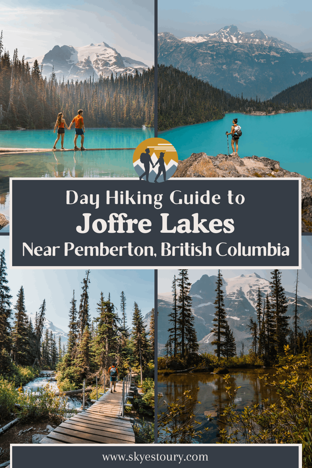
The trail through this section starts in the forest and then breaks out into an exposed boulder field with a trail through it. The boulder field is relatively short and then you will go back into the forest again with some sections of stairs. As you reach Middle Joffre Lake, the trail opens up and you have a very short descent to the lakeshore. There is a view point right as you reach the lake with an area to sit and have a snack or lunch. This is a great spot for photos as well.
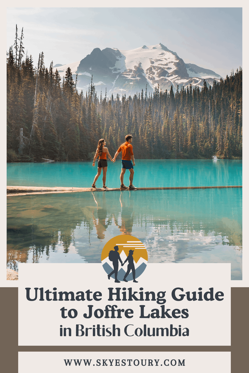
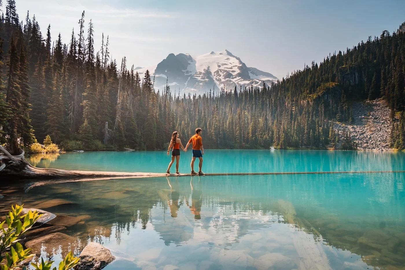
There is a toilet here at Middle Joffre Lake, so if you need to go before your next short climb, do it (always bring your own toilet paper, these toilets are not usually stocked). Just past the toilet, along the main trail, you will reach another couple of view points of the lake, and the highly photographed floating log. We walked out on the log for photos, it is wide enough to walk on, but be ready to get wet in case you slip. I did bring hiking sandals with me and wore them on the log in case I got my feet wet.
Section Stats to the First Viewpoint:
Distance: 2.4 km (1.6 miles)
Elevation Gain: 288 m (945 feet)
Terrain: Forested trail with a short boulder field, moderate grade, some stairs
Estimated Time: 45–60 mins
Section 3: Middle Joffre Lake to Upper Joffre Lakeshore (2.6–3.5 km)
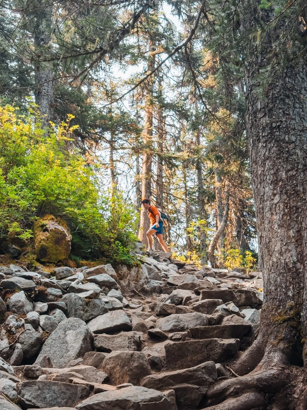
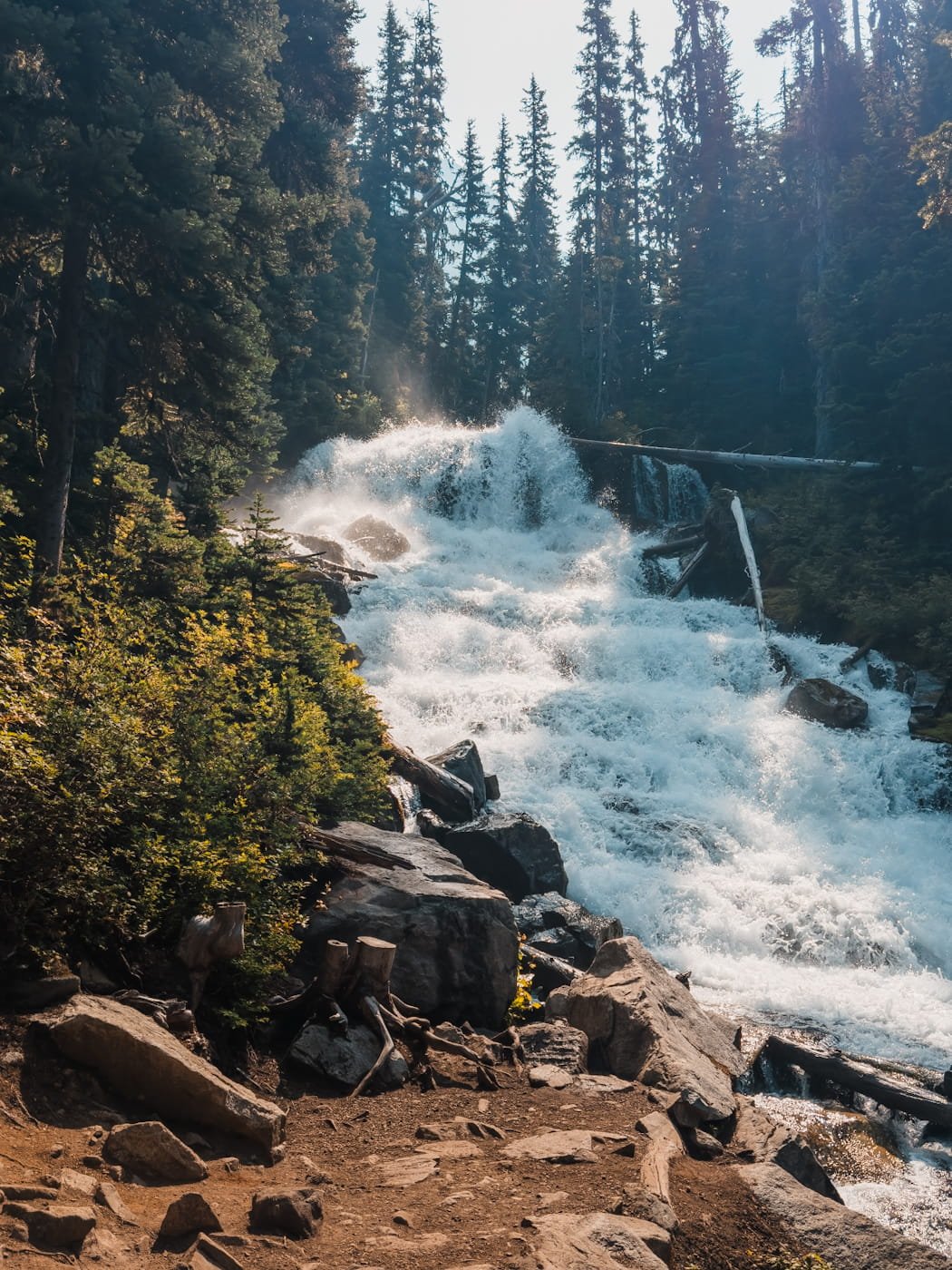
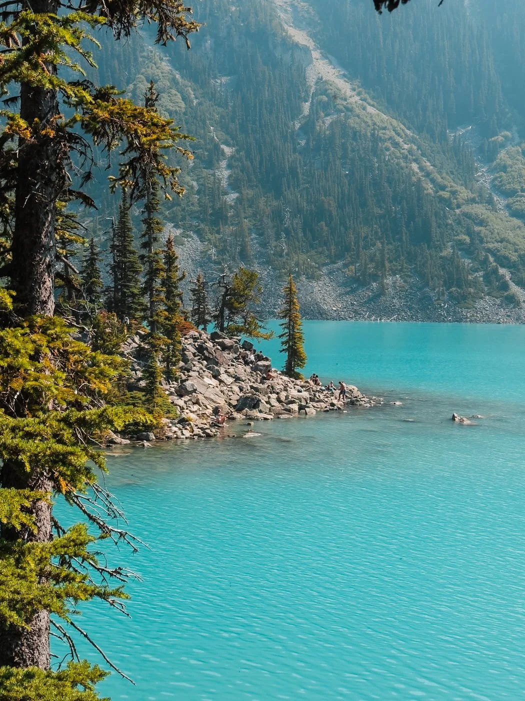
The trail from Middle Joffre Lake to the main viewpoint along the lakeshore at Upper Joffre Lake is short but does gain some elevation. You’ll start heading uphill as soon as you leave the middle lake and will shortly pass Holloway Falls on the right, which is worth stopping at for a picture, it was raging when we were there in mid to late July.
After the waterfall, you’ll head up some rock steps and eventually reach a bridge and board walk at the edge of the upper lake. From here to the main viewpoint/swimming spot and where most day hikers stop, is flat and on a mix of wooden board walk, dirt trail, and through some boulders/rocky sections at the lake shore. There is a toilet at the view point, and lots of places to sit on the boulders and take in the view. This is the most popular spot to stop on the hike, so expect it to be crowded with other hikers swimming and having lunch.
We do highly recommend continuing on if you have more energy, as the views from the campground on the other side of the lake and up along the ridgeline are stunning. But if you have children with you or have had enough elevation gain for the day, the main viewpoint is a great place to end your hike.
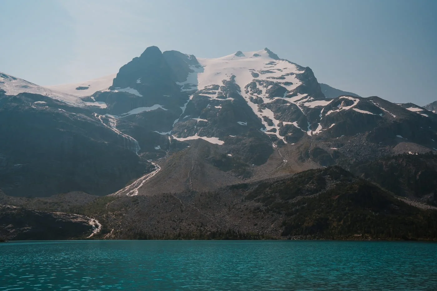
Section Stats to the Lakeshore & Swimming Spot:
Distance: 0.9 km (0.56 miles)
Elevation Gain: 62 m (203 feet)
Terrain: Forested trail with some wooden boardwalk and bridges, moderate grade, some stairs
Estimated Time: 15–30 mins
Section 4 (Optional/Backpackers): Upper Joffre Lake to the Campground (3.5–4.3 km)
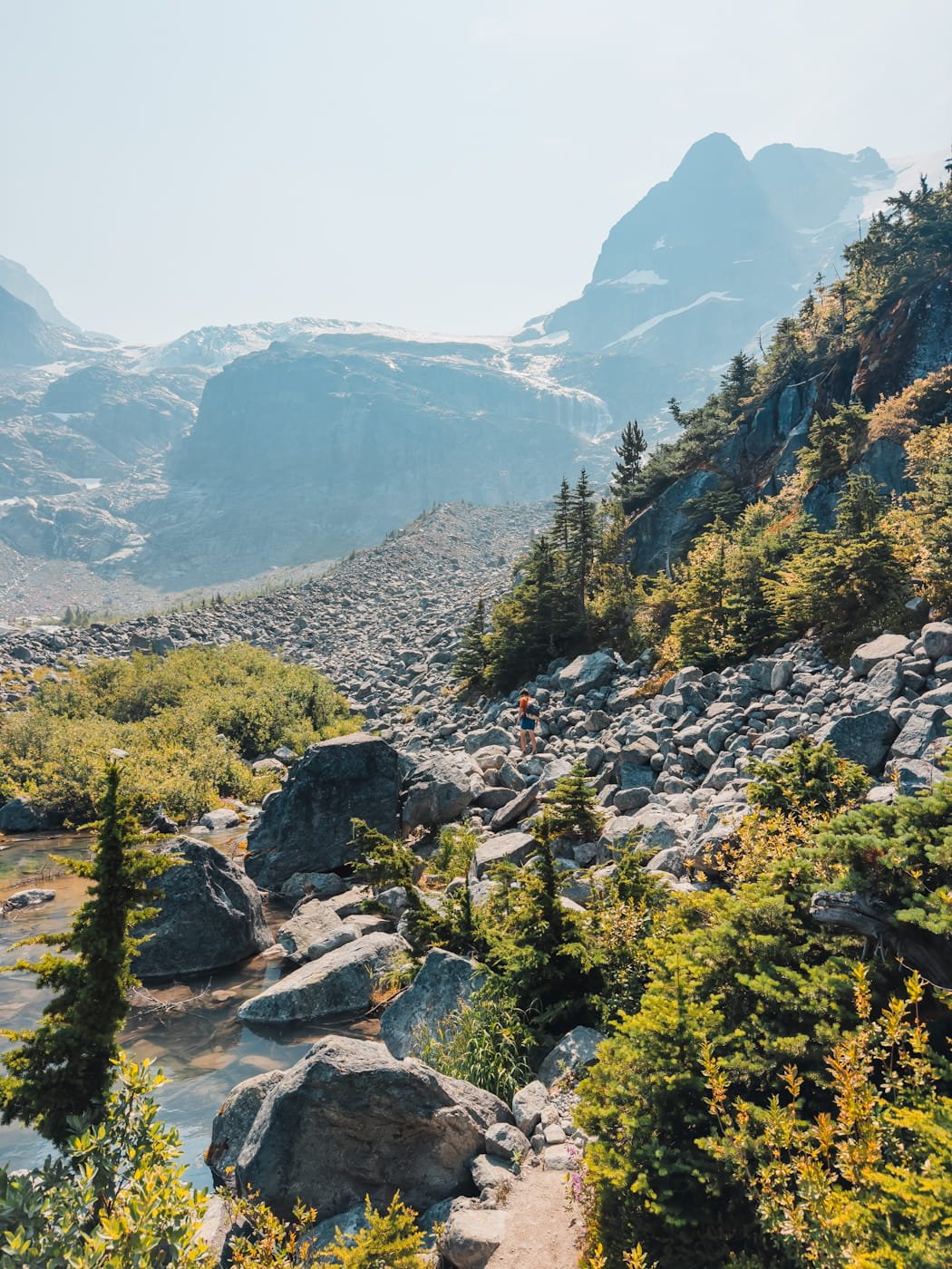
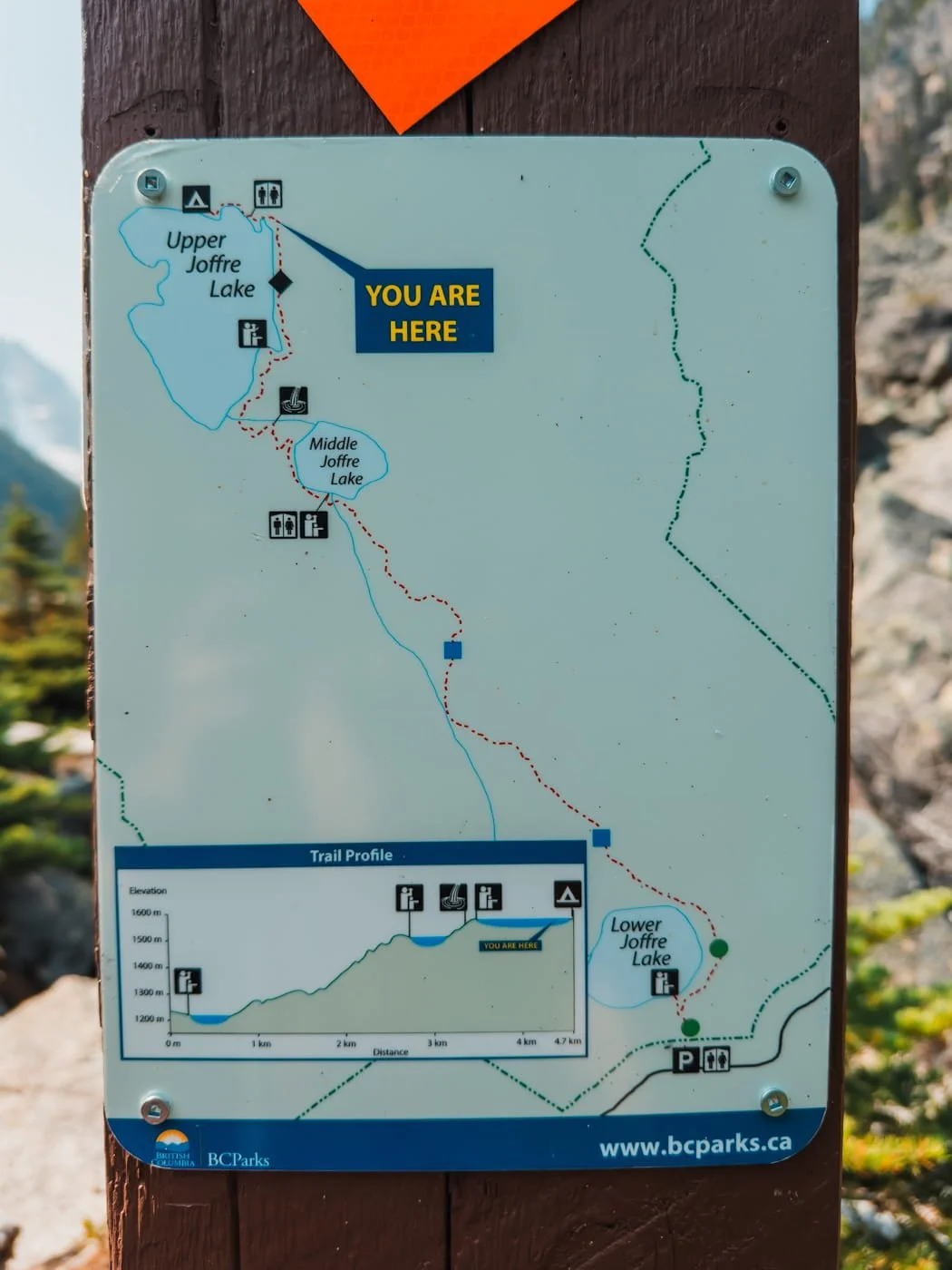
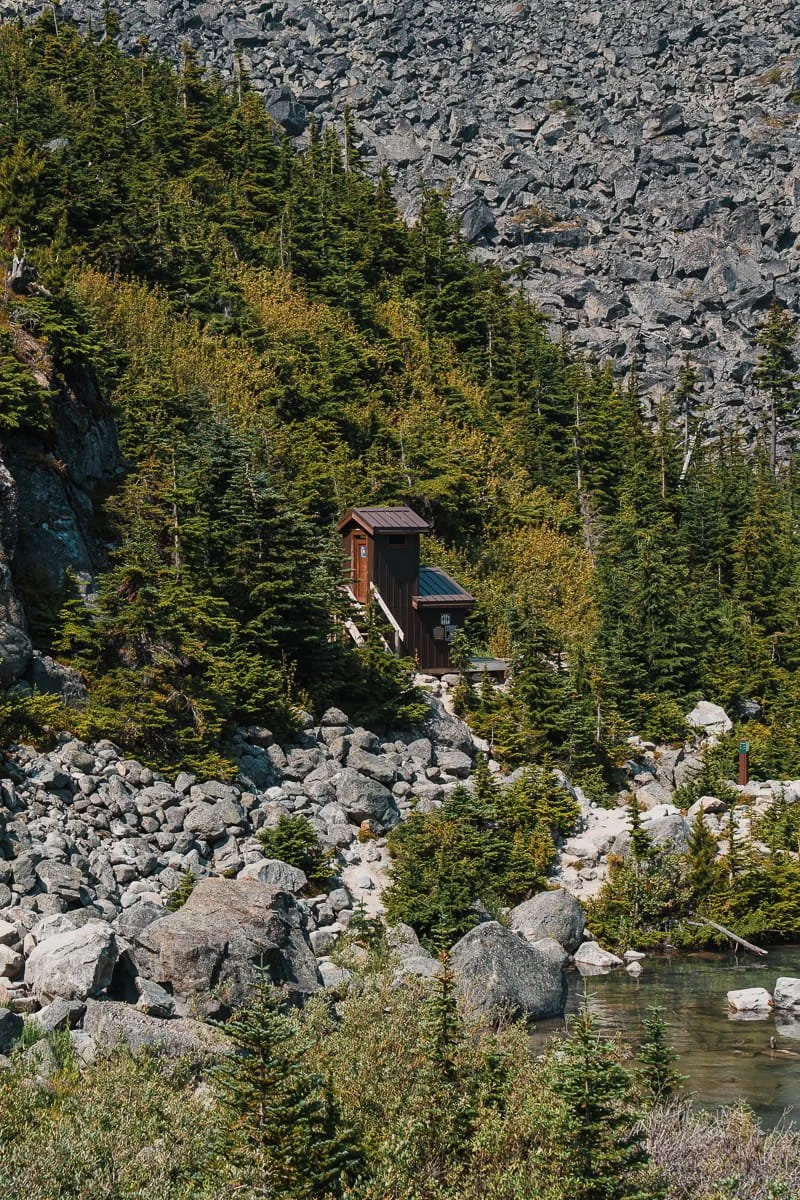
From the main lake viewpoint, you will continue on the trail past the toilet and around the side of Upper Joffre Lake to get to the backpackers campground (Upper Joffre Lake Campground). This section of trail does not gain much elevation, but is a bit more rocky than the other sections. You’ll head into a boulder field and cross a small bridge before heading down steep stairs and boulder hopping down. Here you will find the toilet for the campground, continue past it and hop across a small creek to reach the base of the campground.
There are new tent platforms higher up, and dirt spots closer to the lake shore. If you do not have a camping permit, don’t take up a campsite, instead, hang out on some rocks and enjoy the view from this side of the lake. If you want to continue up farther along the ridge, the views get even better.
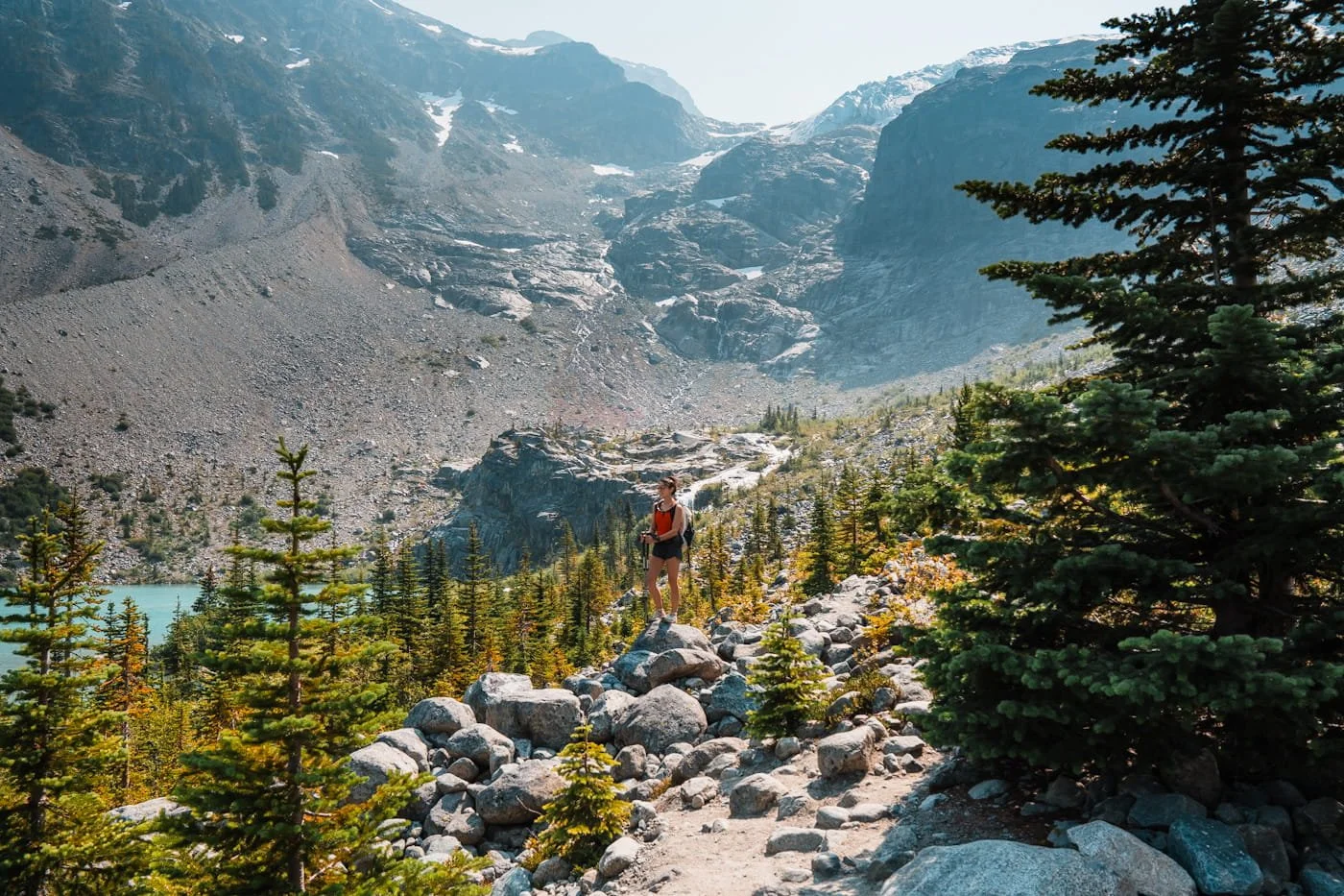
Section Stats to the Campground:
Distance: 0.8 km (0.5 miles)
Elevation Gain: 12 m (39 feet)
Terrain: Narrow trail around the lake with a short bridge and steep stairs heading down to the toilet and campground
Estimated Time: 15–25 mins
Optional Add On: Campground to Viewpoint Along the Ridge (4.3–4.6 km)
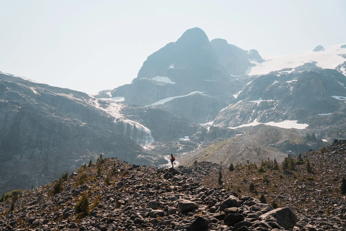
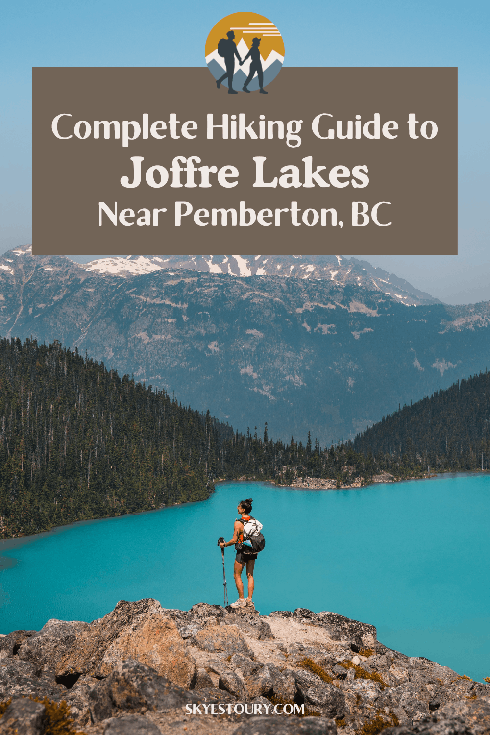
Hiking above the Upper Joffre Lake Campground and up the ridge
From the campground there is a faint trail heading up the ridgeline. It is steep, rocky, and much narrower than the main trail you were on. This is more of a climbers trail and poles will really help if you feel insecure about your footing. This is a very short section to an amazing viewpoint on the ridge, but it does gain elevation, so only continue on if you have the energy.
Soon you will reach a few view points along the ridge that are great for photos. It’s really fun to see the lake from above and more of the mountains on the other side of the highway. We are only showing the stats to this first main viewpoint, but you can really continue on up as far as you want.
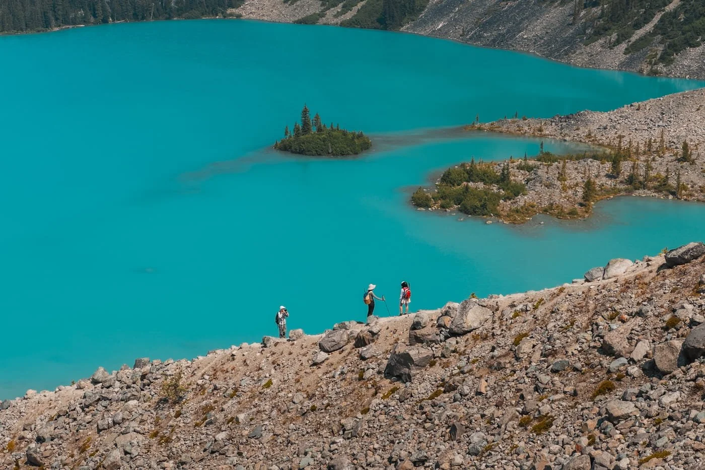
Section Stats to the Viewpoint on the Ridge:
Distance: 0.3 km (0.2 miles)
Elevation Gain: 60 m (197 feet)
Terrain: Rocky boulders with a minimal, steep trail heading up the ridgeline
Estimated Time: 10–20 mins
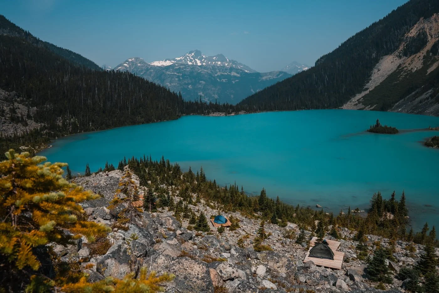
Looking down at the Upper Joffre Lake Campground from a little higher on the ridge
If You're Backpacking Joffre Lakes
Though Joffre Lakes is a relatively short hike, backpacking here is absolutely stunning and worth carrying extra weight up. Make sure to have your overnight permit secured three months in advance, though you may luck out and find some available last minute during the week. Because of the short mileage, we decided to just day hike it, but there were still camping permits available when I checked a few weeks before our trip to Pemberton.
If you're backpacking and carrying extra weight, make sure to budget extra time for the climb. A heavy overnight pack changes your pace on that steady uphill stretch, so don't plan around your day-hike speed. We highly recommend starting early even if you are backpacking, it will be a lot cooler on the way up in the morning. The backpackers we saw on the first stretch of trail, close to the trailhead at 1:30pm when we were exiting, looked very hot and were moving slowly. Don’t make that mistake, start early.
What to Expect at Upper Joffre Lake Campground
The campground sits along and a little above the lake on the south side of Upper Joffre Lake, with a pit toilet nearby and bear lockers for food storage. This is grizzly territory, so everything scented needs to go in the lockers, not just food. Toothpaste, sunscreen, lotion, anything with a scent, needs to be in the bear lockers when you are not at your campsite. The campsites consist of newer-looking wooden tent platforms and dirt campsites closer to the lake, so you've got some choices in setup depending on what you're looking for. The tent platforms are very exposed to sun and wind, but have nice views of the lake, while the campsites closer to the lake are more protected and have a little shade.
Best Time of Year to Hike Joffre Lakes
Summer is the sweet spot for hiking Joffre Lakes, snow lingers in this area well into the season, so spring and even early summer can still have snow on parts of the trail. Fall brings cooler temps and fewer bugs, which is a nice trade-off if you don't mind a shorter window before winter access closes things down.
One thing to build your trip around either way: the park is closed to visitors around June 20–27 and September 8–30, but the dates will change a bit each year. As we mentioned, these dates have shifted in past years, so it's worth double-checking current closures on bcparks.ca before you lock in your plans.
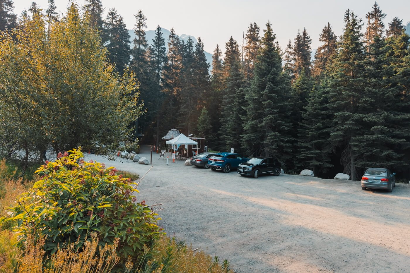
The parking lot at the trailhead at 8am on a Monday morning
Parking at the Joffre Lakes Trailhead
The parking lot is right off the highway, easy to find and easy to get to. The main lot sits directly at the trailhead and is a dirt lot. There's a second lot across the highway for oversized vehicles, if you're in an RV or a large van, park there, and it also works as overflow if the main lot fills up.
Since the hike is permitted, there's generally enough parking to go around, but we still recommend arriving early, by 8:30am, for a good spot. Pit toilets are available in the main parking lot, though they're not usually stocked with toilet paper, so bring your own.
You'll find a ranger kiosk right at the trailhead, this is where your permit gets checked, along with a short talk on trail conditions and Leave No Trace before you head out. No parking pass or fee is required to park.
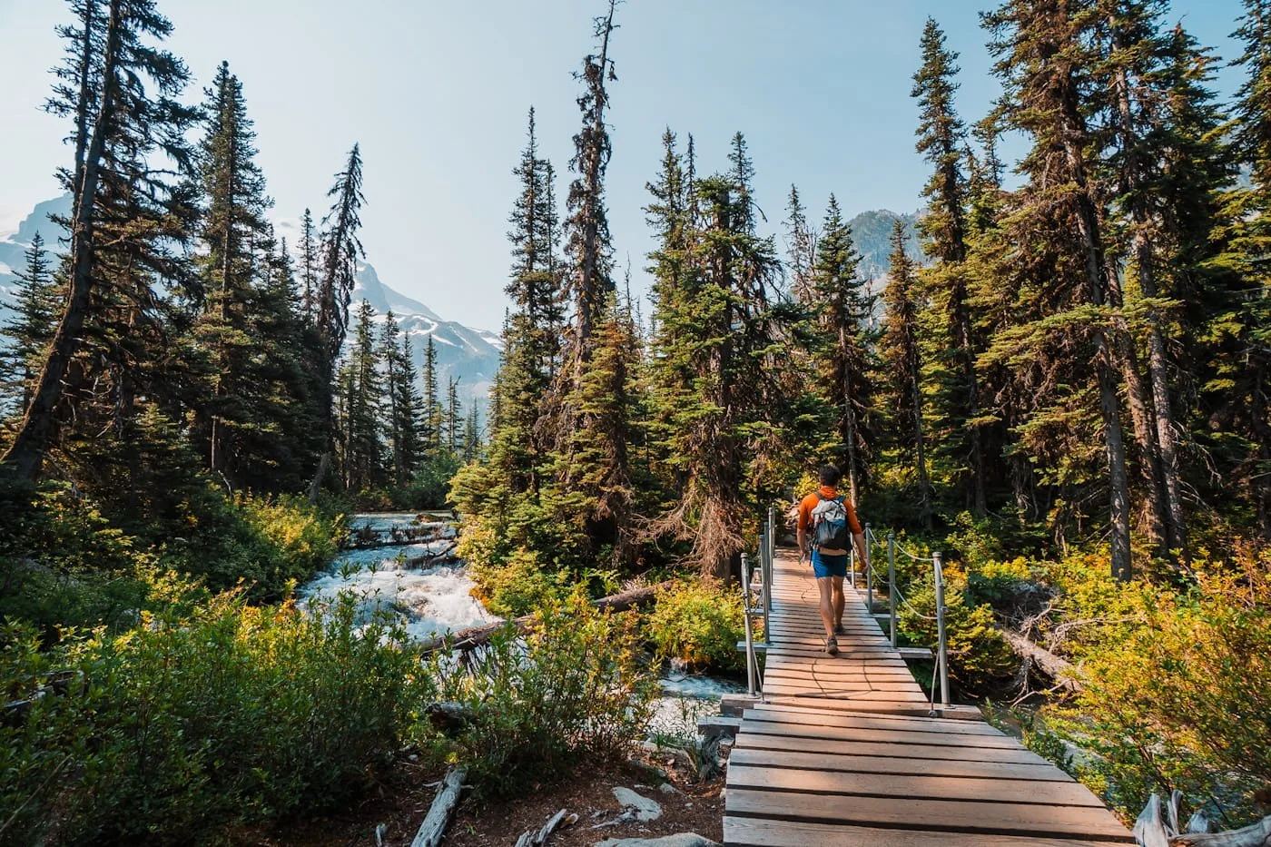
Wooden bridge just before reaching Upper Joffre Lake
Safety & Tips for Hiking Joffre Lakes
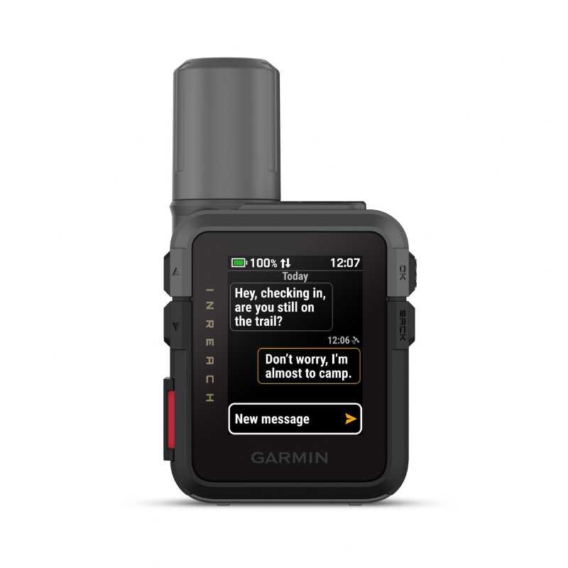
Joffre Lakes is a well-traveled, well-marked trail, but that doesn't mean it's without its risks. We always recommend bringing a first aid kit for your group. Slips and sprains can happen to anyone. It’s important to be prepared and ready to wrap a rolled ankle or bandage an open wound. We also always bring our Garmin InReach Mini, especially on trails like this where there is no cell service.
A few things are worth planning around before you go:
Start Early on Summer Weekends: Parts of the trail are exposed, so starting early helps you beat the heat. It also gets you to the viewpoints before the midday crowds show up.
Cell Service: There's no cell service at the trailhead or the lakes, so download or screenshot your permit QR code ahead of time rather than counting on pulling it up when you get there. It's also worth downloading the trail map in advance so you can check your progress as you go. We use Gaia GPS for this, and you can grab our mapped route of the trail and download it to your phone with the paid subscription before your trip.
No Dogs Allowed (Bear Activity): Dogs aren't allowed on any part of the trail, mainly due to bear activity. If you show up with one, rangers will turn you away.
Water Access on Trail: You can fill up water at each lake, and there are a few small streams along the way. Pack at least 2L per person if you're not planning to filter, or bring a filter and refill as you go.
Mosquitoes and Bugs: When we hiked Joffre Lakes the bugs were around on trail, but not bad, but they were much worse at all of the lakes. Bring bug spray and if you are camping, a head net to wear at camp if the bugs get bad at dusk and dawn.
Weather Changes Quickly at Elevation: Conditions can shift fast up here, so pack layers. We usually carry a light jacket or fleece mid-layer along with an ultralight rain jacket, just in case.
Additional Resources to Check Before Your Hike
Weather Forecast for the Joffre Lakes area - Detailed hourly temperatures and conditions
BC Parks Joffre Lakes Page - Rules, regulations, and area updates
BC Wildfire & Smoke Map - Air quality along with wildfire closures and evacuations around British Columbia
Sunrise/Sunset Times - Plan your start time around available daylight
GaiaGPS Hiking Route - Our free GaiaGPS map layer with the route, parking, camping and bathrooms marked
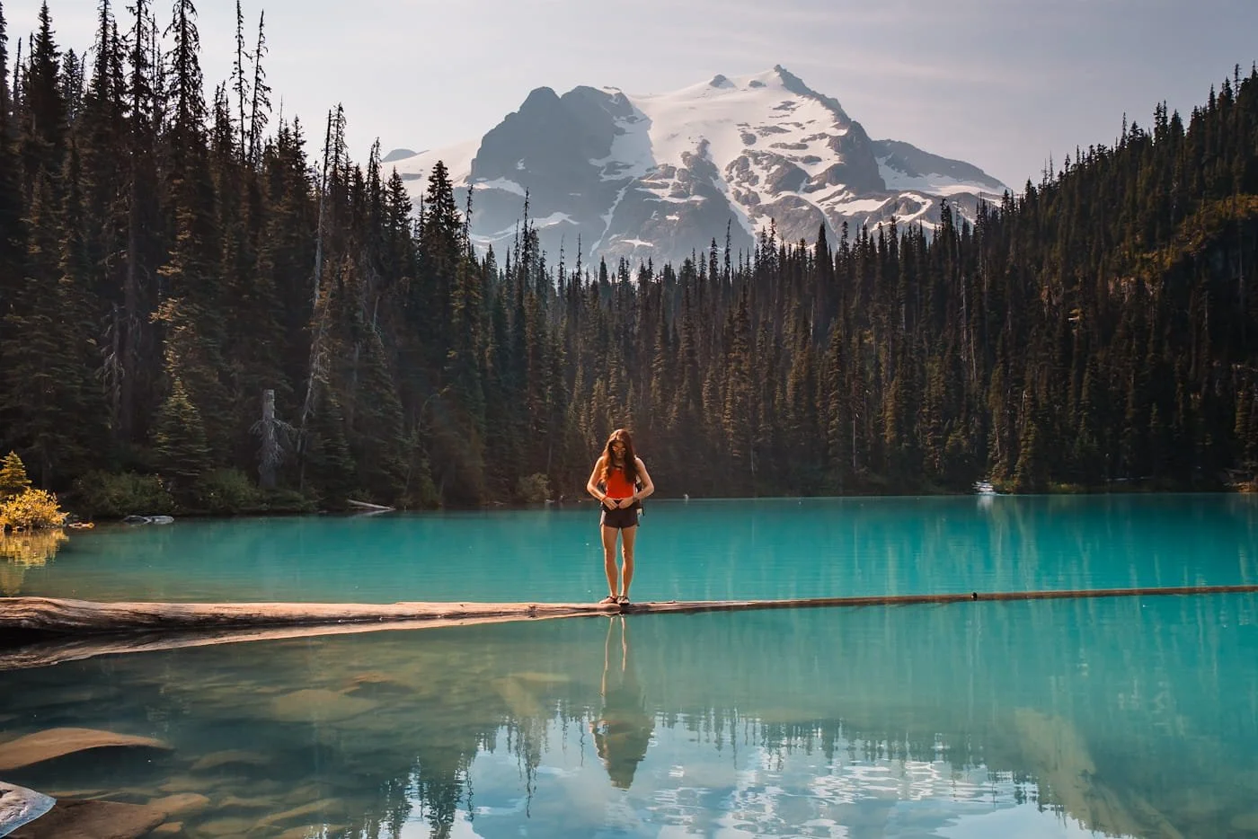
Floating log at Middle Joffre Lake
What to Pack for Your Joffre Lakes Hike
For every day hike, it’s important to pack the necessary gear to have a fun and successful hike. We did see a lot of people on this trail without packs, and only carrying a small water bottle or soda in their hand. Yes, it’s a short hike, but it’s still important to have the capacity to carry your hiking essentials.
Below we are listing a lot of what we normally carry and recommend for all day hikes, but for a more comprehensive packing list, see our Day Hike Packing List guide for a very in-depth list.
Daypack & Carrying Gear
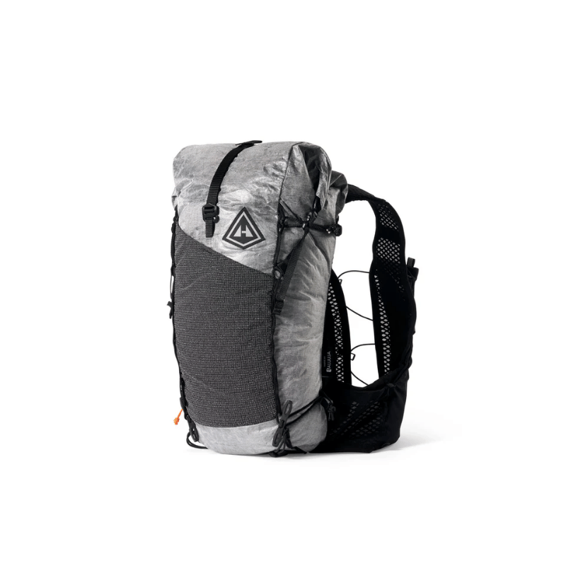
Daypack (15–30L): Enough room for water, layers, food, and the extras above without feeling bulky. We actually love hiking with 15L trail running packs like the Hyperlite Pemi for short day hikes, but opt for something a little larger and with a hip belt if carrying extra camera gear or on longer day hikes.
Navigation & Safety
Navigation App: We use GaiaGPS to download and view the trail track before and during the hike. It works fully offline, no cell service needed, as long as you download the map area before you leave service. We've mapped the route for you, with the trailhead and lakeside pit toilets marked.
Satellite Communicator: A Garmin InReach Mini 3 is worth carrying for SOS capability and backcountry messaging, especially with no cell service anywhere on this trail.
Headlamp: Between an early start and time spent lingering at the lakes, there's a real chance you're hiking out in low light. We keep our ultralight Nitecore NU25 or super fast charging Biolite Range 500 in the pack for exactly that.
Basic First Aid Kit: A small first aid kit covers you for blisters, cuts, and the other minor stuff that tends to show up on longer hikes.
Footwear & Trekking Poles
Trekking Poles: With a long, steady climb followed by an equally long descent, your knees will thank you. We prefer collapsible or Z-style poles for day hikes since they pack down small when you don't need them.
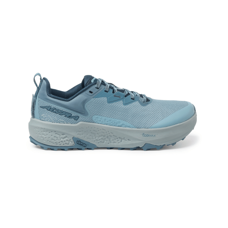
Hiking Boots or Trail Runners: We hiked this one in trail runners and that was perfect for us, but I will say we do all our hikes in trail runners and are very used to them even for backpacking trips. This trail is rocky in spots and grip matters, but it's not technical enough to need a heavy boot unless you need the ankle stability. More on our go-to footwear in our What to Pack For a Day Hike guide.
Hydration & Water
Hydration Bladder or Bottle Storage: Whether you carry a reservoir or bottles, make sure you have 1-2 liters of water.
Water Filter: You can refill at each of the three lakes, along with a few small streams crossing the trail. Our go-to for quick refills is the Katadyn BeFree 1L.
Sun & Weather Protection
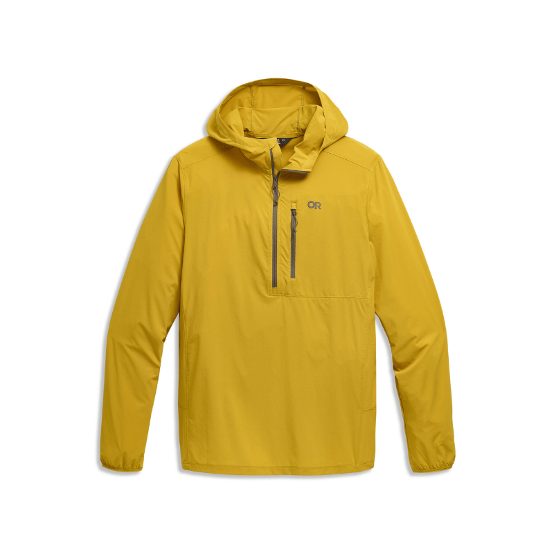
Sun Hoodie: Long exposed stretches on the way up mean real sun exposure, a sun hoodie earns its space in the pack here. We're fans of the Outdoor Research Astroman Air Hoodie, and we go deeper on options in our Best Sun Hoodies for Hiking guide.
Extra Layers: Weather shifts fast at elevation, so pack for it. A lightweight and packable rain jacket is helpful to pack if there is even a small chance of rain. We also toss in a fleece mid-layer or light jacket given how quickly conditions can turn up here.
Sunscreen: A good sweat-resistant sunscreen is important while hiking, our favorite is Dermatone’s Sport Collection because it’s lightweight and made for active days (use code SKYE15 for 15% off your first order). Reapply lakeside, the water reflects a lot more sun than you'd expect.
Bug Protection
Bug Spray: Mosquitoes are heavy around the lakes, especially Middle and Upper Lake, so don't skip this one. A DEET or picaridin-based spray works well for on the trail.
Bug Head Net: If you're hiking during peak mosquito season (early-mid summer), a lightweight head net is a small, cheap addition that makes a real difference if the bugs are bad at the lake. Make sure to pack a cap to wear it with to keep the net off your face.
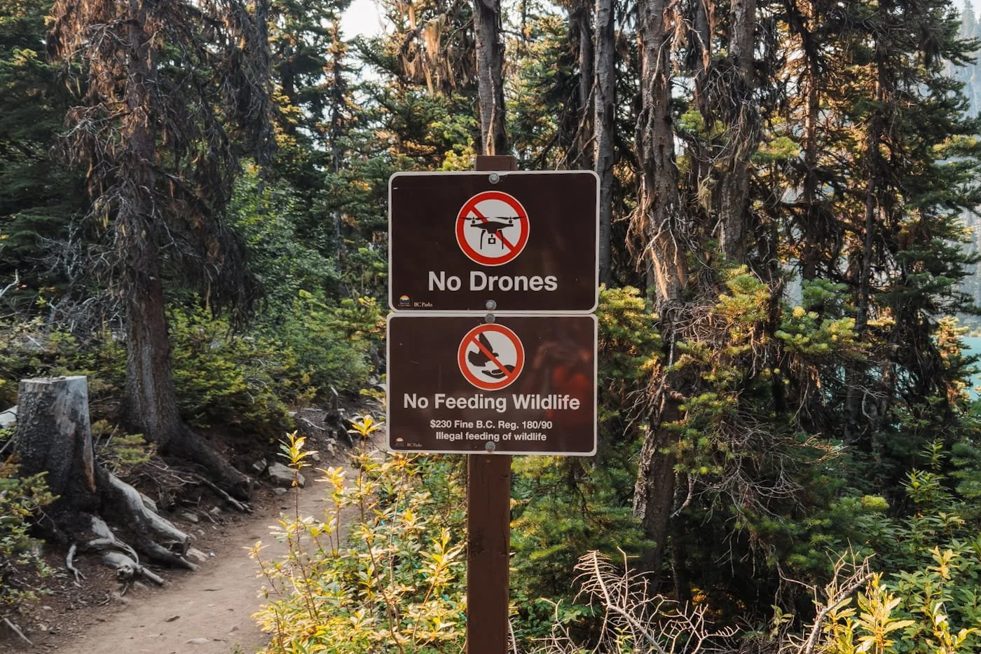
Signage along the trail to remind visitors to care for the wildlife and peaceful setting
Leave No Trace at Joffre Lakes
Joffre Lakes gets heavy foot traffic, especially at the lakes themselves, so a little extra care goes a long way in keeping this trail as beautiful as it is now. Between the crowds, the sensitive alpine terrain, and the area's significance to the Líl̓wat Nation and N'Quatqua, this is one hike where Leave No Trace really matters.
The rangers will let you know of any restrictions on trail when you check in, but always remember to stay on trail, don’t cut switchbacks, pack out everything you pack in, and only use the designated toilets at each lake if you need to go. When we hiked this, we saw human poop on the trail, not at all covered up. Do not poop on trail, if you cannot hold it, you should be carrying a wag bag in your toilet kit and pack it all out with you.
- Stay on trail: Cutting switchbacks causes vegetation damage and erosion.
- Pack out everything: All trash, food scraps, and toilet paper. If you packed it in, pack it out.
- Waste disposal: Use the porta-potty toilet at the trailhead before you leave. If you need to go on trail, use a WAG bag or dig a cathole at least 6–8 inches deep and 200 feet from the trail.
- Don't feed wildlife: Human food is harmful to wildlife and creates problem animals.
- Leave rocks and plants: Don't build cairns, pick flowers, or move large rocks.
- Be considerate of others: The trail draws a lot of people. Give other hikers space and yield to uphill hikers on the trail.
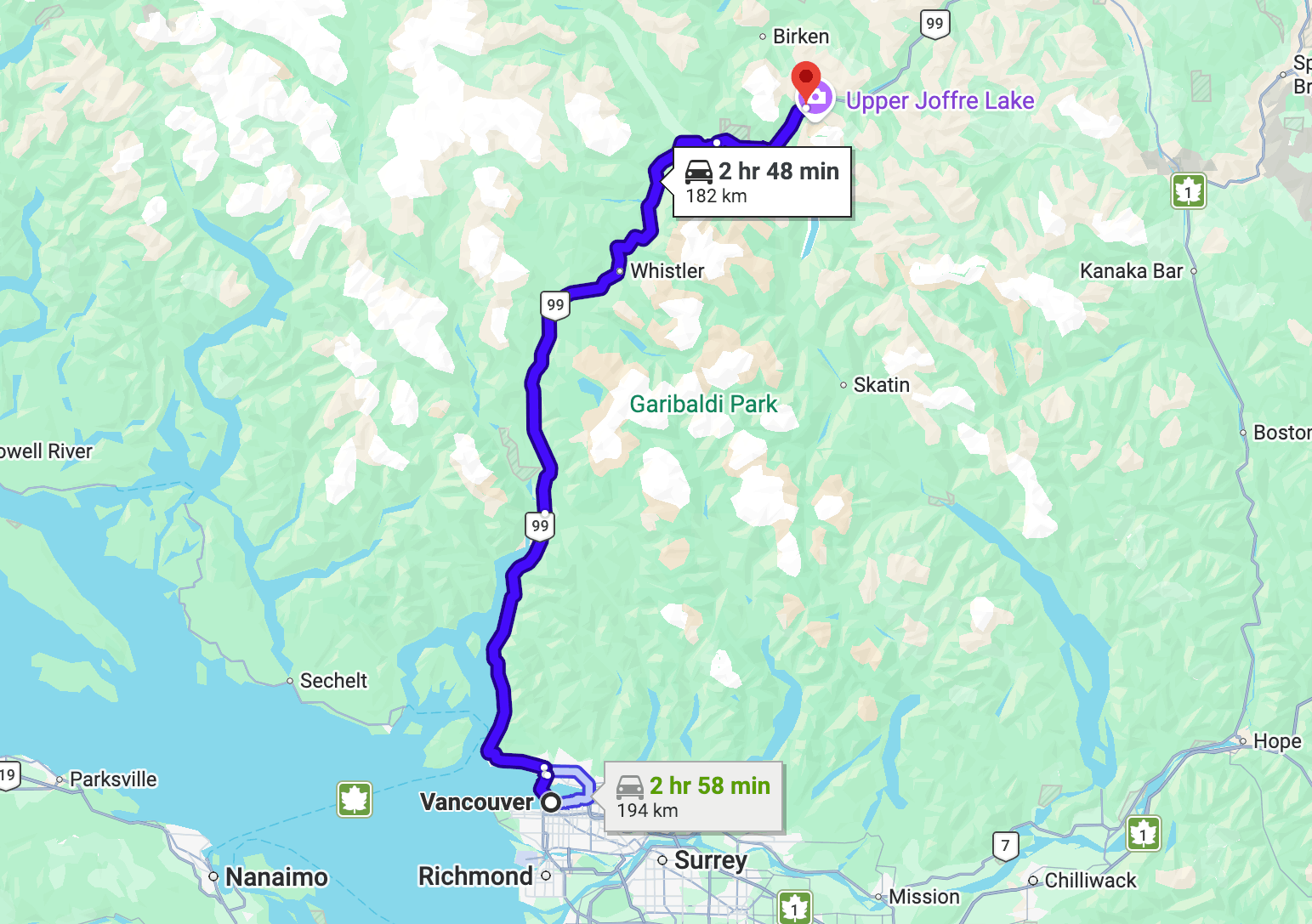
Driving route from Vancouver to Joffre Lakes Trailhead
How to Get to Joffre Lakes
Getting to Joffre Lakes is a straightforward drive, no unpaved roads or high-clearance vehicle needed. The trailhead sits right off Duffey Lake Road (Highway 99), between Pemberton and Lillooet, so however you're coming from, you'll end up on the Sea to Sky Highway for most of the trip.
Driving Directions from Vancouver, BC
From Vancouver, take Highway 99 north, the Sea to Sky Highway, through Squamish and Whistler, then continue on through Pemberton. About 30 minutes past Pemberton on Duffey Lake Road, the trailhead parking lot will be on your right, well marked with BC Parks signage. The drive takes roughly 2.5 hours depending on traffic through Squamish and Whistler, and it's a scenic one, so budget a little extra time if you want to stop along the way.
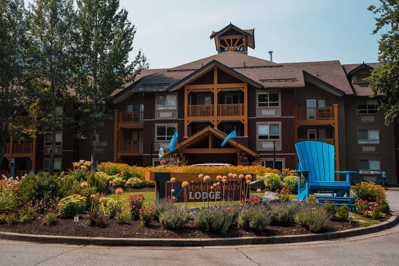
Pemberton Valley Lodge about 30 minutes from Joffre Lakes
Where to Stay Near Joffre Lakes
There's no lodging near Joffre Lakes other than a few campgrounds closer to Pemberton and past Joffre on Duffey Lake Road, so you'll want to base out of a nearby town. Coming from the west, Pemberton is the closest option, about 30 minutes from the trailhead, and a good pick if you'd rather keep your morning drive short. In Pemberton, we recommend staying at the Pemberton Valley Lodge for a nice stay and good amenities.
Whistler is only about 30 minutes south of Pemberton and it's worth the extra drive if you want a wider range of hotels. Though the prices will be expensive in peak summer.
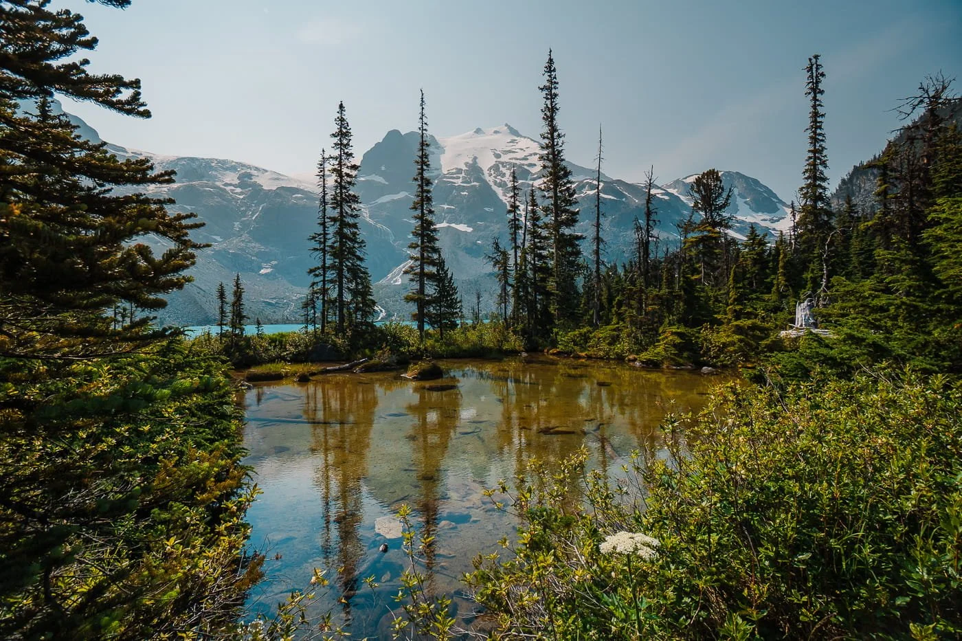
First trailside glimpses of Upper Joffre Lake
FAQ: Hiking Joffre Lakes
Do I need a permit to day hike Joffre Lakes?
Yes, a day-use pass is required daily from May 11 through October 25, 2026, outside of seasonal closures. Passes release two days in advance at 7 AM Pacific through the BC Parks reservation system.
Is Joffre Lakes closed at certain times of year?
Yes, Joffre Lakes closes entirely to the public June 20–27 and September 8–30, 2026, so the Líl̓wat Nation and N'Quatqua can access and steward the land. No day-use passes are issued during these windows.
Are dogs allowed at Joffre Lakes?
No, dogs are prohibited on the entire Joffre Lakes trail due to frequent grizzly and black bear activity. Rangers turn hikers away at the trailhead checkpoint if they arrive with a pet.
How long does it take to hike Joffre Lakes?
Most hikers complete the round trip in 4 to 6 hours, depending on pace and time spent at the lakes. Distance is 7.2 km (4.5 miles) round trip to the Upper Lake viewpoint and swimming spot, or 8.8 km (5.4 miles) if you continue to the campground on the far side of Upper Lake.
How much elevation gain is the Joffre Lakes hike?
Elevation gain is about 356 m (1,168 ft) to the Upper Lake viewpoint, or 372 m (1,220 ft) if continuing on to the campground.
How hard is the Joffre Lakes hike?
Joffre Lakes is rated moderate despite how short it is. The trail is well-marked with no technical terrain, but a long, sustained climb and length catch many hikers off guard, especially in summer heat.
Can you camp at Joffre Lakes?
Yes, at Upper Joffre Lake Campground, which requires a separate backcountry camping reservation booked on a three-month rolling window, distinct from the day-use pass.
Is there cell service at Joffre Lakes?
No, there is no cell service at the trailhead or anywhere along the Joffre Lakes trail. Download your permit QR code and trail map before leaving cell range.
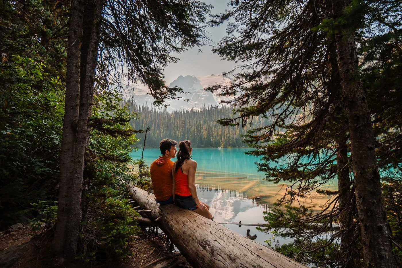
Trailside picnic spot along the shore of Middle Joffre Lake
Final Thoughts on Day Hiking Joffre Lakes
This is truly an amazing hike and worth doing when you are visiting the area, but it is popular, so be aware of that going into it. Our best recommendation is to start early to get a little bit of solitude and a chance for photos at each lake, and then also to come prepared with the right hiking gear.
Don’t let the permit system scare you, it was easy for us to get a permit for a Monday hike in July. You just need to make sure you are on the BC Parks permit page at 7am two days before your trip. Weekends will definitely be more competitive, but if you have the flexibility, we always recommend a weekday hike on popular trails.
All in all, we are so glad we finally got to do this hike while house sitting in Pemberton, and we’re already hoping to get to hike it again or backpack it next time.
Happy hiking!
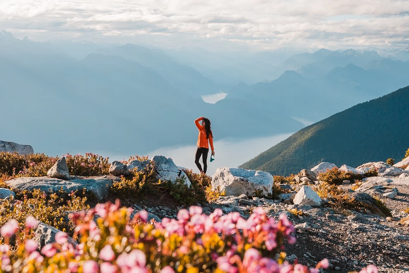
Panorama Ridge in Golden Ears Provincial Park
More British Columbia Hiking Guides
Bucket List Trips in BC & the Canadian Rockies
Hiking Gear Guides
Like this Post? Pin it to Save it for Later